Approximate Location Map
Large Map »
Latitude: 54.4877 / 54°29'15"N
Longitude: -0.6148 / 0°36'53"W
OS Eastings: 489831
OS Northings: 511145
OS Grid: NZ898111
Mapcode National: GBR SJ4K.P1
Mapcode Global: WHG9Y.JGGH
Plus Code: 9C6XF9QP+33
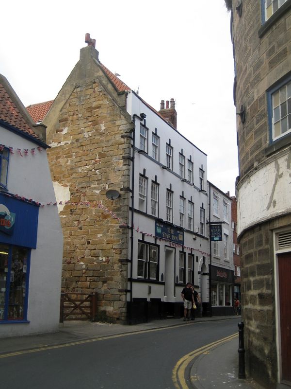
Entry Name: The Star Inn
Listing Date: 4 December 1972
Grade: II
Source: Historic England
Source ID: 1148221
English Heritage Legacy ID: 326828
Also known as: Star Inn
Star Inn, Whitby
ID on this website: 101148221
Location: Whitby, North Yorkshire, YO21
County: North Yorkshire
District: Scarborough
Civil Parish: Whitby
Built-Up Area: Whitby
Traditional County: Yorkshire
Lieutenancy Area (Ceremonial County): North Yorkshire
Church of England Parish: Whitby St Mary
Church of England Diocese: York
1.
1811 HAGGERSGATE
(West Side)
The Star Inn
NZ 8911 1/148
II GV
2.
Late C18. 3 storeys in painted cement, brick to side. 6 sash windows with
keystone. Cill bands and parapet. Ground floor with eaves doorcase off-centre
and round rusticated architrave on right.
The Star Inn and No 5 form a group.
Listing NGR: NZ8983111145
External links are from the relevant listing authority and, where applicable, Wikidata. Wikidata IDs may be related buildings as well as this specific building. If you want to add or update a link, you will need to do so by editing the Wikidata entry.


Other nearby listed buildings
