Latitude: 54.2056 / 54°12'20"N
Longitude: -0.9717 / 0°58'18"W
OS Eastings: 467168
OS Northings: 479356
OS Grid: SE671793
Mapcode National: GBR PMNT.F5
Mapcode Global: WHFB0.1KK9
Plus Code: 9C6X624H+68
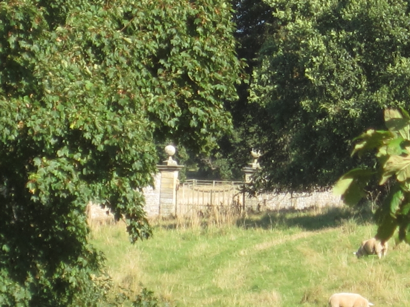
Entry Name: Gatepiers, and Attached Walls, Approximately 130 Metres East of High Orchard
Listing Date: 14 July 1955
Last Amended: 6 October 1987
Grade: II
Source: Historic England
Source ID: 1149713
English Heritage Legacy ID: 329307
ID on this website: 101149713
Location: Nunnington, North Yorkshire, YO62
County: North Yorkshire
District: Ryedale
Civil Parish: Nunnington
Traditional County: Yorkshire
Lieutenancy Area (Ceremonial County): North Yorkshire
Church of England Parish: Nunnington All Saints
Church of England Diocese: York
Tagged with: Gatepost
SE 664790
9/44
14.7.55
NUNNINGTON
THE AVENUE
(east side, off)
Gate piers and attached walls, approximately 130 metres east of High Orchard.
(formerly listed with Nunnington Hall)
GV
II
Gate piers and attached walls. Late C17. Gate piers of limestone ashlar
with walls of dressed limestone. Gate piers approximately 5.8 metres high,
of bolstered blocks with moulded cornices and ball and pedestal finials.
Wall approximately 4.5 metres high, with cambered coping.
Listing NGR: SE6716879356
External links are from the relevant listing authority and, where applicable, Wikidata. Wikidata IDs may be related buildings as well as this specific building. If you want to add or update a link, you will need to do so by editing the Wikidata entry.


Other nearby listed buildings