Latitude: 51.6693 / 51°40'9"N
Longitude: -1.9648 / 1°57'53"W
OS Eastings: 402532
OS Northings: 196724
OS Grid: SU025967
Mapcode National: GBR 3RJ.82R
Mapcode Global: VHB2X.W9NN
Plus Code: 9C3WM29P+P3
Entry Name: Church of All Saints
Listing Date: 26 November 1958
Grade: II*
Source: Historic England
Source ID: 1153975
English Heritage Legacy ID: 129492
ID on this website: 101153975
Location: All Saint's Church, Shorncote, Cotswold, Gloucestershire, GL7
County: Gloucestershire
District: Cotswold
Civil Parish: Somerford Keynes
Traditional County: Wiltshire
Lieutenancy Area (Ceremonial County): Gloucestershire
Church of England Parish: Somerford Keynes with Sharncote All Saints
Church of England Diocese: Gloucester
Tagged with: Church building Norman architecture
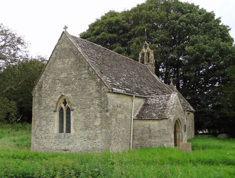
SOMERFORD KEYNES SHORNCOTE SU 09 NW 8/193 Church of All Saints 26.11.58 GV II* Small Anglican Church. Norman foundation, altered in C14, some restoration in C19. Rubble stone with flush quoins, stone slate roof with coped verges and cross finials. Nave with north aisle and south porch, small chancel. Nave has C14 double bellcote on east gable with pierced quatrefoil above, and C14 two-light window to west and south. South porch has Norman doorway with scratch dials and Early English capitals to outer archway. Two straight headed Perpendicular windows with cusped lights and small priest's door between on south side. Interior not accessible but described in David Verey, Buildings of England - Gloucestershire: the Cotswolds, 1979, as having Norman chancel arch and font, C14 piscina, credence shelf and roofs, C15 Easter sepulchre in north wall of chancel, and chancel screen.
Listing NGR: SU0253296724
External links are from the relevant listing authority and, where applicable, Wikidata. Wikidata IDs may be related buildings as well as this specific building. If you want to add or update a link, you will need to do so by editing the Wikidata entry.


Other nearby listed buildings