Latitude: 55.6469 / 55°38'48"N
Longitude: -2.1207 / 2°7'14"W
OS Eastings: 392499
OS Northings: 639268
OS Grid: NT924392
Mapcode National: GBR F3M4.NK
Mapcode Global: WH9Z2.DBCC
Plus Code: 9C7VJVWH+QP
Entry Name: Former Presbyterian Church
Listing Date: 10 March 1988
Grade: II
Source: Historic England
Source ID: 1153983
English Heritage Legacy ID: 238051
ID on this website: 101153983
Location: Etal, Northumberland, TD12
County: Northumberland
Civil Parish: Ford
Traditional County: Northumberland
Lieutenancy Area (Ceremonial County): Northumberland
Church of England Parish: Ford And Etal
Church of England Diocese: Newcastle
Tagged with: Church building
FORD ETAL NT 9239 16/84 Former Presbyterian Church GV II
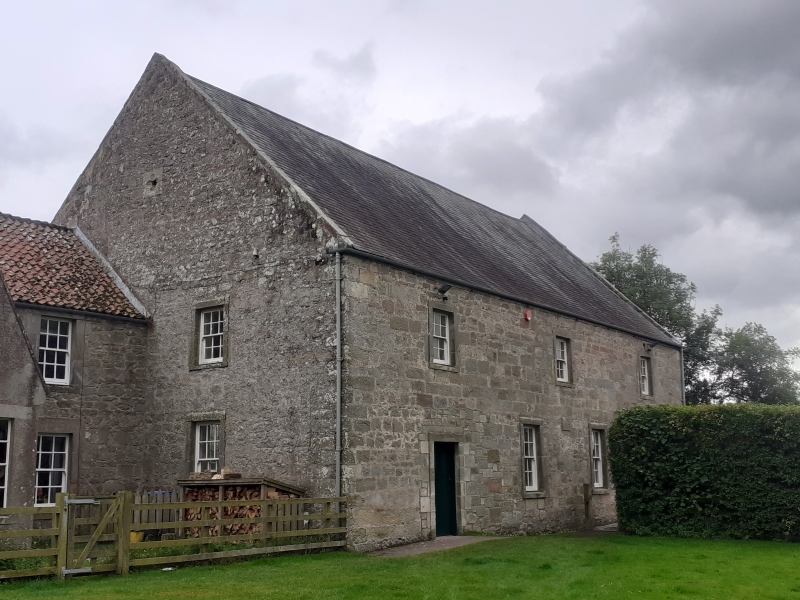
Former Presbyterian church, now joiner's shop. 1800. Rubble with ashlar dressings, Welsh slate roof. 2 storeys, 4 bays. Outer bays have 12-pane sashes on ground floor, smaller-windows above now boarded. Centre bays have full-height 24-pane, round-headed windows with intersecting glazing bars. All openings in raised stone surrounds. High, broad and steeply-pitched gabled roof.
Entry side has 4 bays on ground floor with doorways in outer bays, left door replaced by a C20 sliding door. 3 boarded windows on first floor. In the centre a small moulded panel inscribed
REBUILT ANNO DOMINI 1800 REV D WILSON
Listing NGR: NT9250239270
External links are from the relevant listing authority and, where applicable, Wikidata. Wikidata IDs may be related buildings as well as this specific building. If you want to add or update a link, you will need to do so by editing the Wikidata entry.


Other nearby listed buildings