Latitude: 55.1268 / 55°7'36"N
Longitude: -1.5027 / 1°30'9"W
OS Eastings: 431806
OS Northings: 581494
OS Grid: NZ318814
Mapcode National: GBR K9Y4.GZ
Mapcode Global: WHC30.WDLK
Plus Code: 9C7W4FGW+PW
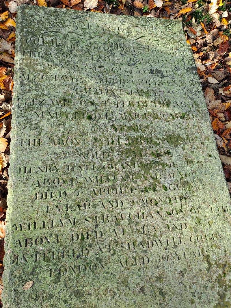
Entry Name: Straugham Tomb, 6 Metres West of St Cuthbert's Church Hall
Listing Date: 15 July 1987
Grade: II
Source: Historic England
Source ID: 1154682
English Heritage Legacy ID: 236007
ID on this website: 101154682
Location: St Cuthbert's Parish Church, Blyth, Northumberland, NE24
County: Northumberland
Civil Parish: Blyth
Built-Up Area: Blyth
Traditional County: Northumberland
Lieutenancy Area (Ceremonial County): Northumberland
Church of England Parish: Blyth St Cuthbert
Church of England Diocese: Newcastle
Tagged with: Architectural structure
BLYTH PLESSEY ROAD NZ 3181 SE (South side) 12/42 Straugham tomb, 6 metres west of St. Cuthbert's Church Hall GV II Table tomb, 1817. Sandstone. Slab with gadrooned edge on 6 moulded urn legs. Inscription: 'THE BURIAL PLACE of William & Mary Straugham....'
Listing NGR: NZ3180681494
External links are from the relevant listing authority and, where applicable, Wikidata. Wikidata IDs may be related buildings as well as this specific building. If you want to add or update a link, you will need to do so by editing the Wikidata entry.


Other nearby listed buildings