Latitude: 50.1403 / 50°8'24"N
Longitude: -5.6888 / 5°41'19"W
OS Eastings: 136526
OS Northings: 33204
OS Grid: SW365332
Mapcode National: GBR DXB9.WJS
Mapcode Global: VH057.BQXV
Plus Code: 9C2P48R6+4F
Entry Name: The Count House, Botallack Mine North West of Botallack
Listing Date: 21 September 1973
Grade: II
Source: Historic England
Source ID: 1159591
English Heritage Legacy ID: 69179
ID on this website: 101159591
Location: Botallack, Cornwall, TR19
County: Cornwall
Civil Parish: St. Just
Traditional County: Cornwall
Lieutenancy Area (Ceremonial County): Cornwall
Church of England Parish: Pendeen
Church of England Diocese: Truro
Tagged with: Architectural structure
1. 1589 BOTALLACK --------- The Count House, Botallack Mine North-West of Botallack SW 33 SE 1/64
II
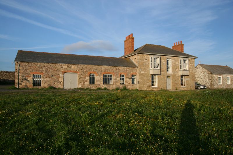
2. Mid C19 stuccoed house associated with Botallack Mine. Slurried slate hipped roof, wide eaves. 2 storeys. 3 windows, large sashes with glazing bars, taller centre 1st floor window. Wide central doorway with narrow rectangular fanlight.
Listing NGR: SW3652633204
External links are from the relevant listing authority and, where applicable, Wikidata. Wikidata IDs may be related buildings as well as this specific building. If you want to add or update a link, you will need to do so by editing the Wikidata entry.


Other nearby listed buildings