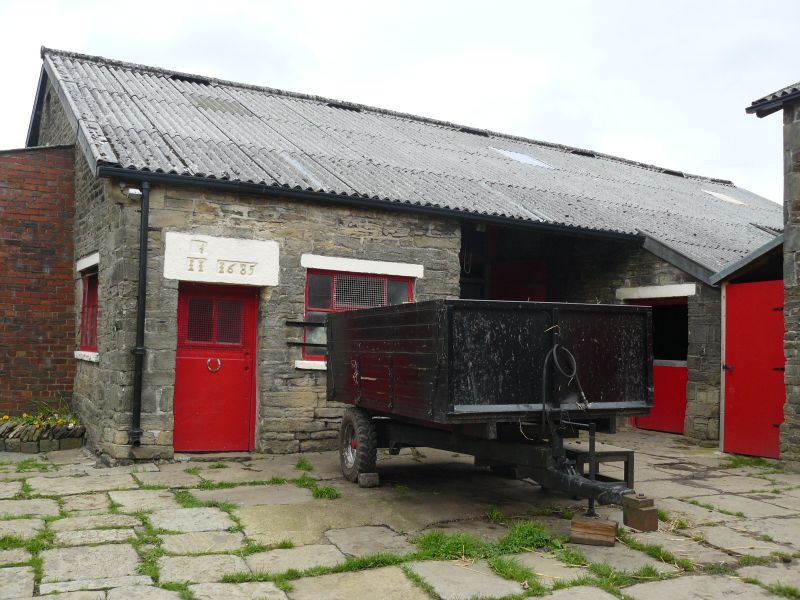
Latitude: 53.6557 / 53°39'20"N
Longitude: -2.1752 / 2°10'30"W
OS Eastings: 388518
OS Northings: 417701
OS Grid: SD885177
Mapcode National: GBR FV75.W8
Mapcode Global: WHB8Q.KCDT
Plus Code: 9C5VMR4F+7W
Entry Name: Barn C2 Metres West of No 15
Listing Date: 30 November 1984
Grade: II
Source: Historic England
Source ID: 1164504
English Heritage Legacy ID: 185831
ID on this website: 101164504
Location: Whitworth, Rossendale, Lancashire, OL12
County: Lancashire
District: Rossendale
Civil Parish: Whitworth
Built-Up Area: Whitworth
Traditional County: Lancashire
Lieutenancy Area (Ceremonial County): Lancashire
Church of England Parish: Whitworth St Bartholomew
Church of England Diocese: Manchester
Tagged with: Barn
SD 81 NE WHITWORTH TAYLOR STREET
11/252 Barn c.2 metres west of No.15 - GV II
Barn, dated 1691 on lintel of doorway, altered. Coursed sandstone rubble with quoins, corrugated sheet roof. Three bays, gable to road. Principal feature of interest is this gable wall which has blocked chamfered doorway near left corner, the massive lintel with panels containing raised lettering IS 1691, 5 round-headed slit breathers on 2 levels, and a circular owl hole near the apex. Item listed for likely historical connection with No. 11 (g.v.)
Listing NGR: SD8851817701
External links are from the relevant listing authority and, where applicable, Wikidata. Wikidata IDs may be related buildings as well as this specific building. If you want to add or update a link, you will need to do so by editing the Wikidata entry.


Other nearby listed buildings