Latitude: 52.3677 / 52°22'3"N
Longitude: -2.1798 / 2°10'47"W
OS Eastings: 387852
OS Northings: 274417
OS Grid: SO878744
Mapcode National: GBR 1D2.FQS
Mapcode Global: VH91W.5RG9
Plus Code: 9C4V9R9C+33
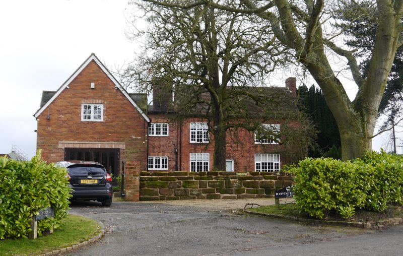
Entry Name: Harvington Hall Farmhouse
Listing Date: 20 October 1952
Last Amended: 18 March 1987
Grade: II
Source: Historic England
Source ID: 1167180
English Heritage Legacy ID: 157024
ID on this website: 101167180
Location: Harvington, Wyre Forest, Worcestershire, DY10
County: Worcestershire
District: Wyre Forest
Civil Parish: Chaddesley Corbett
Traditional County: Worcestershire
Lieutenancy Area (Ceremonial County): Worcestershire
Church of England Parish: Kidderminster East
Church of England Diocese: Worcester
Tagged with: Farmhouse
CHADDESLEY CORBETT CP HARVINGTON SO 87 SE 10/37 Harvington Hall Farmhouse (formerly listed as 20.10.52 Harvington Farmhouse and range of farm buildings on north-west) GV II Farmhouse. Early C17, remodelled in c1700, extended mid-C19 with some late C20 alterations. Timber-frame clad in brick on sandstone plinth with machine tile roof. Garden (east) front: two storeys, gables to each end, band to ground floor, stepped brick eaves. Six windows, mostly 3-light casements, the outer windows each have a segmental head, and in the gable above a blind window with segmental head. Ground floor: six windows, 3-light casements under segmental heads alternate with blind windows. Roughly central entrance has a C20 tiled gabled canopy and a half-glazed door. Framing: visible internally with close- studding on ground floor.
Listing NGR: SO8789574392
External links are from the relevant listing authority and, where applicable, Wikidata. Wikidata IDs may be related buildings as well as this specific building. If you want to add or update a link, you will need to do so by editing the Wikidata entry.


Other nearby listed buildings