Latitude: 52.3674 / 52°22'2"N
Longitude: -2.1807 / 2°10'50"W
OS Eastings: 387795
OS Northings: 274391
OS Grid: SO877743
Mapcode National: GBR 1D2.FJ8
Mapcode Global: VH91W.5R0H
Plus Code: 9C4V9R89+XP
Entry Name: Stable About 10 Metres West of Priest's House
Listing Date: 18 March 1987
Grade: II
Source: Historic England
Source ID: 1348334
English Heritage Legacy ID: 157023
ID on this website: 101348334
Location: Harvington, Wyre Forest, Worcestershire, DY10
County: Worcestershire
District: Wyre Forest
Civil Parish: Chaddesley Corbett
Traditional County: Worcestershire
Lieutenancy Area (Ceremonial County): Worcestershire
Church of England Parish: Kidderminster East
Church of England Diocese: Worcester
Tagged with: Stable
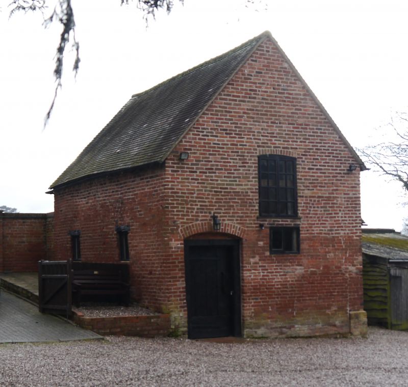
CHADDESLEY CORBETT CP HARVINGTON SO 87 SE 10/36 Stable about 10 metres west of Priest's House GV II Stables, now parish rooms. Early C18 incorporating C16 fragments, with some late C20 alterations. Brick incorporating timber-frame, with tile roof. One storey with loft door in north gable, on ground floor, entrance to left has a wooden architrave under segmental head with a C18 battened door. Interior: close-studded timber-framing visible on ground floor. Included for group value.
Listing NGR: SO8779474391
External links are from the relevant listing authority and, where applicable, Wikidata. Wikidata IDs may be related buildings as well as this specific building. If you want to add or update a link, you will need to do so by editing the Wikidata entry.


Other nearby listed buildings