Approximate Location Map
Large Map »
Latitude: 51.9883 / 51°59'17"N
Longitude: 0.1586 / 0°9'30"E
OS Eastings: 548317
OS Northings: 234408
OS Grid: TL483344
Mapcode National: GBR LB1.BX1
Mapcode Global: VHHL8.P9P2
Plus Code: 9F32X5Q5+8C
Entry Name: Axe and Compasses Inn
Listing Date: 22 February 1980
Grade: II
Source: Historic England
Source ID: 1170138
English Heritage Legacy ID: 121405
Also known as: Axe & Compasses, Arkesden, Saffron Walden
Axe & Compasses
ID on this website: 101170138
Location: Arkesden, Uttlesford, Essex, CB11
County: Essex
District: Uttlesford
Civil Parish: Arkesden
Built-Up Area: Arkesden
Traditional County: Essex
Lieutenancy Area (Ceremonial County): Essex
Church of England Parish: Arkesden St Mary the Virgin
Church of England Diocese: Chelmsford
ARKESDEN THE VILLAGE
1.
5222
(south side)
Axe and Compasses Inn
TL 4834 36/10
II GV
2.
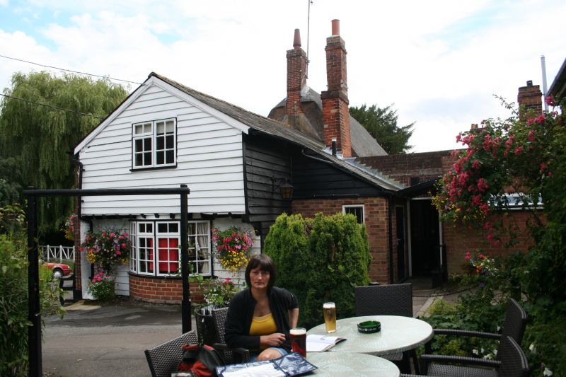
Timber-framed building built circa 1700 and refronted in red brick in the C18
or early C19. One storey and attics. Two small ground storey bay windows
with double-hung sashes with glazing bars. Roof thatched, with end chimney
stacks and 2 dormers. A C19 addition with a slate roof extends to the west.
(RCHM 6).
Listing NGR: TL4831734408
External links are from the relevant listing authority and, where applicable, Wikidata. Wikidata IDs may be related buildings as well as this specific building. If you want to add or update a link, you will need to do so by editing the Wikidata entry.


Other nearby listed buildings
