Approximate Location Map
Large Map »
Latitude: 51.9304 / 51°55'49"N
Longitude: -1.7224 / 1°43'20"W
OS Eastings: 419183
OS Northings: 225796
OS Grid: SP191257
Mapcode National: GBR 4PW.WY9
Mapcode Global: VHBZ5.3R91
Plus Code: 9C3WW7JH+42
Entry Name: Priory Cottage
Listing Date: 29 April 1983
Grade: II
Source: Historic England
Source ID: 1171215
English Heritage Legacy ID: 126409
ID on this website: 101171215
Location: Stow-on-the-Wold, Cotswold, Gloucestershire, GL54
County: Gloucestershire
District: Cotswold
Civil Parish: Stow-on-the-Wold
Built-Up Area: Stow-on-the-Wold
Traditional County: Gloucestershire
Lieutenancy Area (Ceremonial County): Gloucestershire
Church of England Parish: Stow-on-the Wold St Edward
Church of England Diocese: Gloucester
Tagged with: Cottage
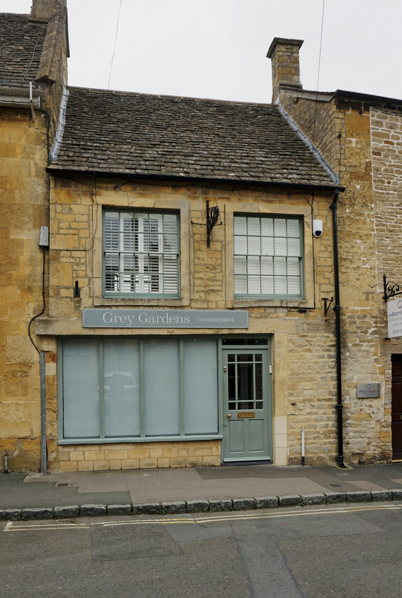
1.
5224 THE SQUARE
(east side)
Priory Cottage
SP 1925 NW 2/104
II GV
2.
Early-mid C19. Coursed rubble with Cotswold stone roof. Two storeys. Ground floor
with modern garage doors. Two 16-pane sashes in stone architraves with keystones
above. Steeply pitched roof. Included for group value.
Listing NGR: SP1918325796
External links are from the relevant listing authority and, where applicable, Wikidata. Wikidata IDs may be related buildings as well as this specific building. If you want to add or update a link, you will need to do so by editing the Wikidata entry.


Other nearby listed buildings
