Latitude: 52.0693 / 52°4'9"N
Longitude: -3.0028 / 3°0'10"W
OS Eastings: 331356
OS Northings: 241691
OS Grid: SO313416
Mapcode National: GBR F6.CV2N
Mapcode Global: VH781.W8W0
Plus Code: 9C4R3X9W+PV
Entry Name: Cross Shaft and Sundial at North-East Corner
Listing Date: 26 January 1967
Last Amended: 16 November 1984
Grade: II
Source: Historic England
Source ID: 1172682
English Heritage Legacy ID: 153762
ID on this website: 101172682
Location: Dorstone, County of Herefordshire, HR3
County: County of Herefordshire
Civil Parish: Dorstone
Built-Up Area: Dorstone
Traditional County: Herefordshire
Lieutenancy Area (Ceremonial County): Herefordshire
Church of England Parish: Dorstone
Church of England Diocese: Hereford
SO 34 SW DORSTONE CP VILLAGE GREEN
Dorstone
6/141
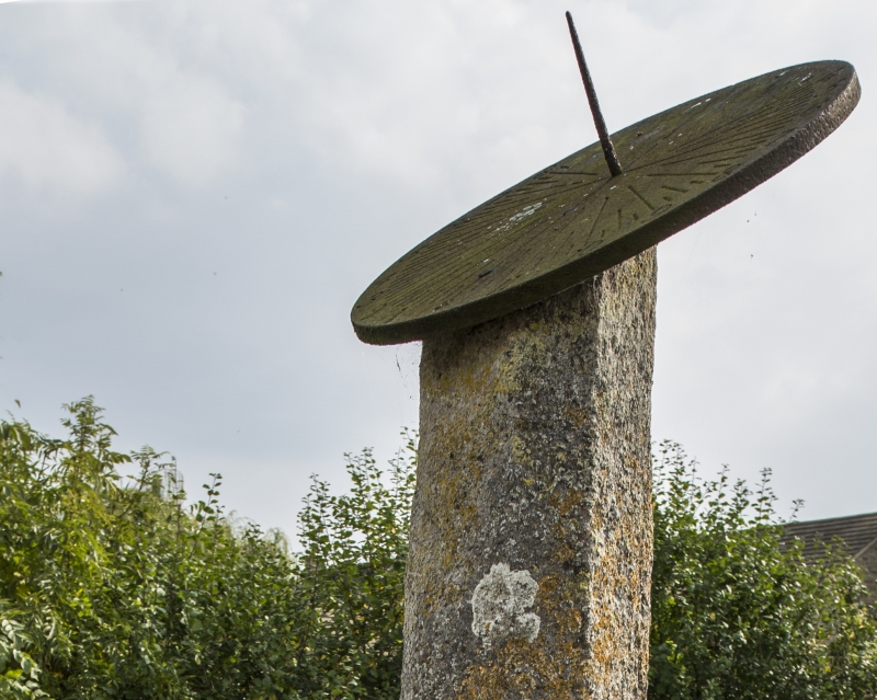
Cross shaft and sundial
at north-east corner
(previously listed as
Village Cross)
26/1/67
II
Cross shaft and sundial. Possibly C15, altered in 1812. Stone and cast
iron. Chamfered square shaft with pyramid stops at base, set in stone with
chamfered angles level with ground; capped by cast iron sundial inscribed
on soffit: "IM/ 1812". (RCHM 1, p 57, no 6 and plate 33).
Listing NGR: SO3135641691


Other nearby listed buildings