Approximate Location Map
Large Map »
Latitude: 51.2307 / 51°13'50"N
Longitude: -2.3211 / 2°19'15"W
OS Eastings: 377676
OS Northings: 147999
OS Grid: ST776479
Mapcode National: GBR 0S9.N12
Mapcode Global: VH97D.QB9C
Plus Code: 9C3V6MJH+7H
Entry Name: 19, Cheap Street
Listing Date: 31 January 1974
Grade: II
Source: Historic England
Source ID: 1172876
English Heritage Legacy ID: 266120
ID on this website: 101172876
Location: Frome, Somerset, BA11
County: Somerset
District: Mendip
Civil Parish: Frome
Built-Up Area: Frome
Traditional County: Somerset
Lieutenancy Area (Ceremonial County): Somerset
Tagged with: Building
1.
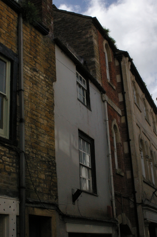
5363 CHEAP STREET
(West side)
GV No 19
SX 7747 NE 10/339 31.1.74 No 19
II
2.
C18. Stucco. 3 storeys, 1 window, sashes in flush frames, glazing barn. Pantile
roof. Modern shop front.
Listing NGR: ST7767848001
External links are from the relevant listing authority and, where applicable, Wikidata. Wikidata IDs may be related buildings as well as this specific building. If you want to add or update a link, you will need to do so by editing the Wikidata entry.


Other nearby listed buildings
