Latitude: 51.1846 / 51°11'4"N
Longitude: -3.444 / 3°26'38"W
OS Eastings: 299170
OS Northings: 143809
OS Grid: SS991438
Mapcode National: GBR LK.5RB6
Mapcode Global: VH6GM.8H47
Plus Code: 9C3R5HM4+R9
Entry Name: 32, HIGH STREET (See details for further address information)
Listing Date: 22 May 1969
Last Amended: 24 June 1976
Grade: II
Source: Historic England
Source ID: 1173379
English Heritage Legacy ID: 264680
ID on this website: 101173379
Location: Dunster, Somerset, TA24
County: Somerset
District: Somerset West and Taunton
Civil Parish: Dunster
Built-Up Area: Dunster
Traditional County: Somerset
Lieutenancy Area (Ceremonial County): Somerset
Tagged with: Building
1. DUNSTER HIGH STREET 5366 (East Side)
SS 9843-9943 4/48 22.5.69 No 32
24.6.76 No 34
II GV
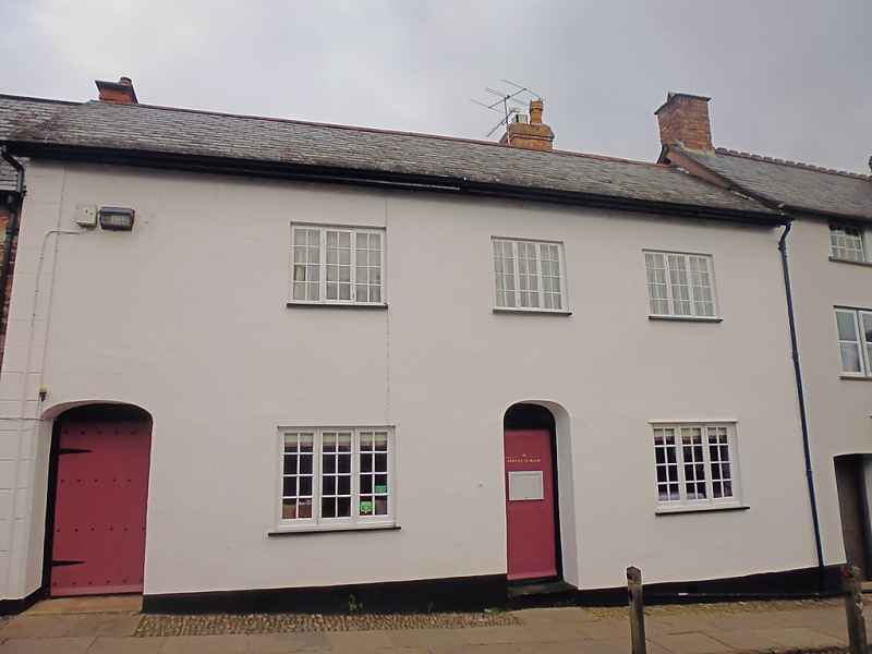
2. Mid 19th century frontage. Render, slate roof, brick stacks. Two storeys. Five windows, 3-light wood casements with glazing bars. Two elliptical headed door openings, recessed doors one with arched fanlight.
Listing NGR: SS9917243837
External links are from the relevant listing authority and, where applicable, Wikidata. Wikidata IDs may be related buildings as well as this specific building. If you want to add or update a link, you will need to do so by editing the Wikidata entry.


Other nearby listed buildings