Latitude: 52.8733 / 52°52'23"N
Longitude: -2.9401 / 2°56'24"W
OS Eastings: 336818
OS Northings: 331061
OS Grid: SJ368310
Mapcode National: GBR 78.R0B1
Mapcode Global: WH89Y.T13L
Plus Code: 9C4VV3F5+8W
Entry Name: Shropshire Union Canal Lockgate Bridge
Listing Date: 2 September 1987
Grade: II
Source: Historic England
Source ID: 1180260
English Heritage Legacy ID: 255854
ID on this website: 101180260
Location: Shropshire, SY11
County: Shropshire
Civil Parish: Whittington
Traditional County: Shropshire
Lieutenancy Area (Ceremonial County): Shropshire
Church of England Parish: Welsh Frankton St Andrew
Church of England Diocese: Lichfield
WHITTINGTON C.P.
SJ 33 SE
6/138
SHROPSHIRE UNION CANAL
(Montgomeryshire Branch)
Lockgate Bridge
II
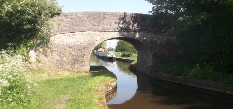
Hump-backed road bridge. Circa 1796 with minor later alterations on William Jessop's and Thomas Telford's Ellesmere Canal. Red brick with coped parapet terminating in square corner piers. Elliptical arch with projecting keybrick and string course. This section of the Ellesmere Canal, opened in 1796 to link with the Montgomeryshire Canal at Carreghofa, became part of the Shropshire Union in 1846.
The asset was previously listed twice also at List entry 1177050. That entry was removed from the List on 14 December 2016.
This entry was subject to a Minor Amendment on 15 December 2016.


Other nearby listed buildings