Latitude: 51.0357 / 51°2'8"N
Longitude: -2.0893 / 2°5'21"W
OS Eastings: 393831
OS Northings: 126265
OS Grid: ST938262
Mapcode National: GBR 2YL.SPW
Mapcode Global: FRA 66HC.ZT7
Plus Code: 9C3V2WP6+77
Entry Name: Privy Opposite Old Wardour House on South West Corner of Bailey Walls
Listing Date: 6 July 1987
Grade: II
Source: Historic England
Source ID: 1183469
English Heritage Legacy ID: 320805
ID on this website: 101183469
Location: Old Wardour, Wiltshire, SP3
County: Wiltshire
Civil Parish: Donhead St. Andrew
Traditional County: Wiltshire
Lieutenancy Area (Ceremonial County): Wiltshire
Church of England Parish: Donhead St Andrew
Church of England Diocese: Salisbury
Tagged with: Architectural structure
DONHEAD ST. ANDREW WARDOUR PARK ST 92 NW (east side)
4/22 Privy opposite Old Wardour House on south west corner of Bailey Walls
GV II
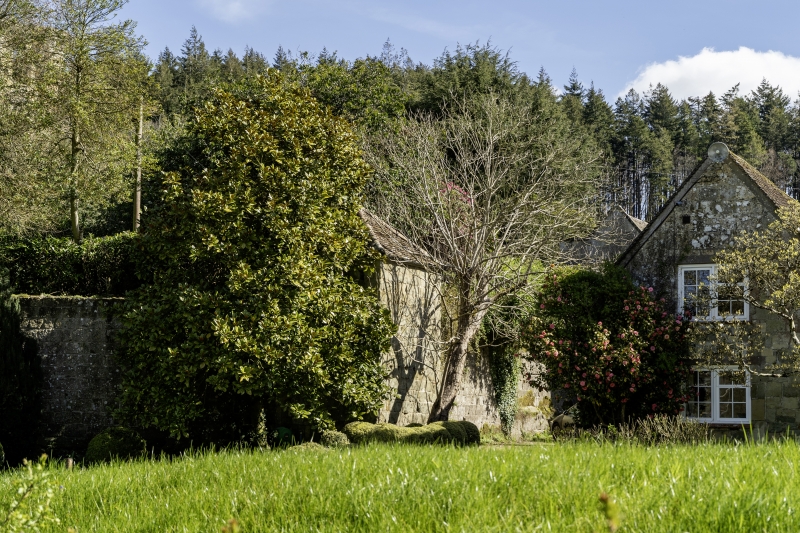
Privy. C18. Dressed limestone, tiled roof with hip to rear. Two-storey, built on bailey walls with ground floor entrance outside bailey and first floor entrance within bailey. Ground floor has planked door and first floor has chamfered stone door surround with C19 gothic-panelled door, casements to side walls. Interior not accessible at time of survey (December 1985), but said to retain panelled walls. (DOE Guide, Old Wardour Castle, 1968)
Listing NGR: ST9383126265
External links are from the relevant listing authority and, where applicable, Wikidata. Wikidata IDs may be related buildings as well as this specific building. If you want to add or update a link, you will need to do so by editing the Wikidata entry.


Other nearby listed buildings