Approximate Location Map
Large Map »
Latitude: 51.0893 / 51°5'21"N
Longitude: 0.6916 / 0°41'29"E
OS Eastings: 588590
OS Northings: 135666
OS Grid: TQ885356
Mapcode National: GBR QVX.MP4
Mapcode Global: FRA D6B7.P8B
Plus Code: 9F323MQR+PJ
Entry Name: Pope House Farmhouse
Listing Date: 9 August 1979
Grade: II
Source: Historic England
Source ID: 1186042
English Heritage Legacy ID: 180238
ID on this website: 101186042
Location: London Beach, Ashford, Kent, TN30
County: Kent
District: Ashford
Civil Parish: High Halden
Built-Up Area: Tenterden
Traditional County: Kent
Lieutenancy Area (Ceremonial County): Kent
Tagged with: Farmhouse
HIGH HALDEN
1.
5272
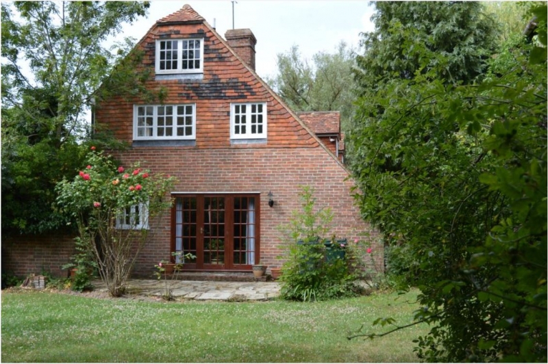
Pope House Farmhouse
TQ 83 NE 4/199
II
2.
C18 or earlier. Two storeys. Ground floor red brick, above tile hung. Half-hipped
tiled roof. Three casement windows. Doorcase with flat hood over.
Listing NGR: TQ8859035666
External links are from the relevant listing authority and, where applicable, Wikidata. Wikidata IDs may be related buildings as well as this specific building. If you want to add or update a link, you will need to do so by editing the Wikidata entry.


Other nearby listed buildings
