Latitude: 51.4095 / 51°24'34"N
Longitude: -0.4892 / 0°29'21"W
OS Eastings: 505170
OS Northings: 168909
OS Grid: TQ051689
Mapcode National: GBR 1D.TKT
Mapcode Global: VHFTQ.GTQW
Plus Code: 9C3XCG56+Q8
Entry Name: Church Farmhouse
Listing Date: 11 August 1952
Grade: II
Source: Historic England
Source ID: 1187019
English Heritage Legacy ID: 363210
ID on this website: 101187019
Location: Laleham, Spelthorne, Surrey, TW18
County: Surrey
District: Spelthorne
Electoral Ward/Division: Laleham and Shepperton Green
Parish: Non Civil Parish
Built-Up Area: Staines
Traditional County: Middlesex
Lieutenancy Area (Ceremonial County): Surrey
Church of England Parish: All Saints Laleham
Church of England Diocese: London
Tagged with: Farmhouse
THE BROADWAY 1. 5390 Laleham Church Farmhouse TQ 0568 11/25 11.8.52 II GV
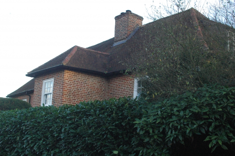
2. C17 with probably early C18 front and later alterations. Two storeys and attic (lit from dormers to rear). Red brick with hipped tile roof. Central chimney. Five windows, flush-framed glazing bar sashes, some with 20 panes. Tower porch to right of centre with hipped roof and oval side windows on ground floor. Six panel moulded and fielded door (upper ones glazed). Later hood on brackets. Brick string at first floor. Interior: baffle entry, back to back fireplace with stairs to the other side.
Listing NGR: TQ0517068907
External links are from the relevant listing authority and, where applicable, Wikidata. Wikidata IDs may be related buildings as well as this specific building. If you want to add or update a link, you will need to do so by editing the Wikidata entry.


Other nearby listed buildings