Latitude: 51.4523 / 51°27'8"N
Longitude: 0.1743 / 0°10'27"E
OS Eastings: 551171
OS Northings: 174831
OS Grid: TQ511748
Mapcode National: GBR ST.6LX
Mapcode Global: VHHNS.YRZK
Plus Code: 9F32F52F+WP
Entry Name: 64, Bexley Lane
Listing Date: 17 December 1980
Grade: II
Source: Historic England
Source ID: 1188219
English Heritage Legacy ID: 198646
ID on this website: 101188219
Location: Crayford, Bexley, London, DA1
County: London
District: Bexley
Electoral Ward/Division: Crayford
Parish: Non Civil Parish
Built-Up Area: Bexley
Traditional County: Kent
Lieutenancy Area (Ceremonial County): Greater London
Church of England Parish: Crayford St Paulinus
Church of England Diocese: Rochester
Tagged with: Building
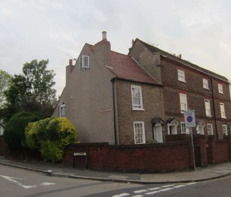
BEXLEY LANE
1.
5005
Crayford
No 64
TQ 5174 11/5
II GV
2.
Late C18 or early C19. Two storeys. One window. Brown brick. Door with
gabled hood on shaped brackets. Block eaves cornice. Included for group value.
Listing NGR: TQ5117174831
External links are from the relevant listing authority and, where applicable, Wikidata. Wikidata IDs may be related buildings as well as this specific building. If you want to add or update a link, you will need to do so by editing the Wikidata entry.


Other nearby listed buildings