Latitude: 51.2733 / 51°16'23"N
Longitude: 0.007 / 0°0'25"E
OS Eastings: 540092
OS Northings: 154592
OS Grid: TQ400545
Mapcode National: GBR KK7.2L5
Mapcode Global: VHHPP.28J8
Plus Code: 9F3272F4+8Q
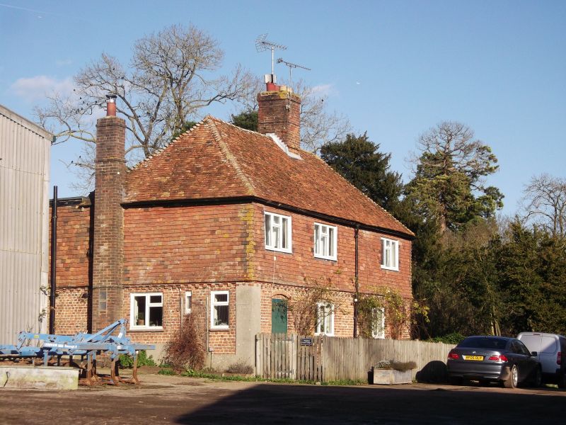
Entry Name: Pitchfont Farm Cottages
Listing Date: 19 November 1984
Grade: II
Source: Historic England
Source ID: 1189952
English Heritage Legacy ID: 287949
ID on this website: 101189952
Location: Titsey, Tandridge, Surrey, RH8
County: Surrey
District: Tandridge
Civil Parish: Titsey
Traditional County: Surrey
Lieutenancy Area (Ceremonial County): Surrey
Church of England Parish: Limpsfield and Titsey
Church of England Diocese: Southwark
Tagged with: Cottage
TQ 45 SW
7/293
TITSEY C.P
WATER LANE
TITSEY
Pitchfont Farm cottages
II
Cottage pair. Mid C18. Red brick with blue headers below, tile hung above; hipped
plain tile roof with central ridge stack and stack to rear left. 2 storeys. Brick
dentil band over ground floor. 3 leaded casement windows across the first floor,
ground floor windows under cambered heads. Cambered head board doors to ends.
Listing NGR: TQ4009254592
External links are from the relevant listing authority and, where applicable, Wikidata. Wikidata IDs may be related buildings as well as this specific building. If you want to add or update a link, you will need to do so by editing the Wikidata entry.


Other nearby listed buildings