Latitude: 53.434 / 53°26'2"N
Longitude: -1.3905 / 1°23'25"W
OS Eastings: 440593
OS Northings: 393200
OS Grid: SK405932
Mapcode National: GBR LXQQ.RQ
Mapcode Global: WHDDB.MY28
Plus Code: 9C5WCJM5+JR
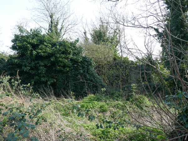
Entry Name: Farmbuilding Approximately 65 Metres South East of Kimberworth Manor House
Listing Date: 23 March 1979
Last Amended: 19 February 1986
Grade: II
Source: Historic England
Source ID: 1192043
English Heritage Legacy ID: 335657
ID on this website: 101192043
Location: Bradgate, Rotherham, South Yorkshire, S61
County: Rotherham
Electoral Ward/Division: Rotherham West
Parish: Non Civil Parish
Built-Up Area: Rotherham
Traditional County: Yorkshire
Lieutenancy Area (Ceremonial County): South Yorkshire
Church of England Parish: Kimberworth St Thomas
Church of England Diocese: Sheffield
Tagged with: Agricultural structure
SK49SW ROTHERHAM CHURCH STREET (north side, off), Kimberworth 5/25 Farmbuilding approximately 65 metres to south-east of 23.3.79 Kimberworth Manor House (formerly listed as Barn approximately 65 metres to south-east of Manor House) GV II Cowhouses with hayloft, now disused. Probably C18, altered. Coursed rubble sandstone, Welsh slate roof. 2 storeys, 6 bays (internal). Large quoins. Near-central, quoined doorway with, to its left, a large opening with horizontally- sliding door and beyond it a large inserted casement. To ground-floor right a wooden-framed door with casement to its right. C20 wooden steps to lst-floor doorway with door opening rising above eaves as gabled dormer. Two lst-floor hatches and several blocked slit vents. Remains of gable copings to right. Interior: principal-rafter trusses with inserted struts to double purlins. Forms an important element of the Kimberworth Manor farm group. Included for group value.
Listing NGR: SK4059393200
External links are from the relevant listing authority and, where applicable, Wikidata. Wikidata IDs may be related buildings as well as this specific building. If you want to add or update a link, you will need to do so by editing the Wikidata entry.


Other nearby listed buildings