Approximate Location Map
Large Map »
Latitude: 51.4718 / 51°28'18"N
Longitude: -0.0077 / 0°0'27"W
OS Eastings: 538473
OS Northings: 176639
OS Grid: TQ384766
Mapcode National: GBR L1.W7Q
Mapcode Global: VHGR7.T89L
Plus Code: 9C3XFXCR+PW
Entry Name: Wall to East of Number 22
Listing Date: 12 March 1973
Grade: II
Source: Historic England
Source ID: 1192086
English Heritage Legacy ID: 203252
ID on this website: 101192086
Location: Blackheath, Lewisham, London, SE10
County: London
District: Lewisham
Electoral Ward/Division: Blackheath
Parish: Non Civil Parish
Built-Up Area: Lewisham
Traditional County: Kent
Lieutenancy Area (Ceremonial County): Greater London
Church of England Parish: Blackheath The Ascension
Church of England Diocese: Southwark
Tagged with: Wall
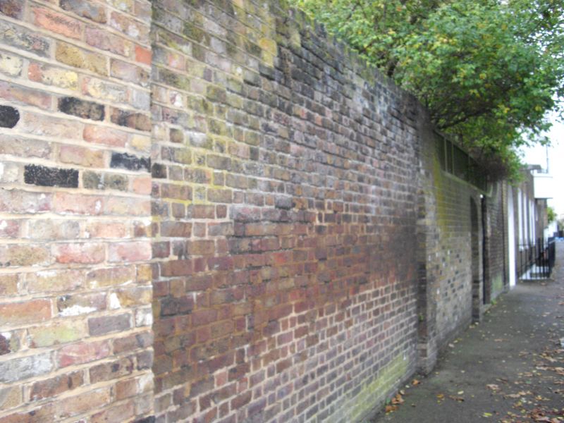
DARTMOUTH HILL SE10
1.
4424 (South Side)
Wall to East of No 22
TQ 3876 9/L21B
II
2.
Late C18 brick wall ramped up from lower level near house, and with
buttresses at intervals.
Listing NGR: TQ3847376639
External links are from the relevant listing authority and, where applicable, Wikidata. Wikidata IDs may be related buildings as well as this specific building. If you want to add or update a link, you will need to do so by editing the Wikidata entry.


Other nearby listed buildings
