Approximate Location Map
Large Map »
Latitude: 53.1121 / 53°6'43"N
Longitude: -0.9901 / 0°59'24"W
OS Eastings: 467699
OS Northings: 357687
OS Grid: SK676576
Mapcode National: GBR 9H5.VY2
Mapcode Global: WHFHD.R1QJ
Plus Code: 9C5X4265+RX
Entry Name: Barn at Old Farm
Listing Date: 13 May 1986
Grade: II
Source: Historic England
Source ID: 1194301
English Heritage Legacy ID: 242174
ID on this website: 101194301
Location: Kirklington, Newark and Sherwood, Nottinghamshire, NG22
County: Nottinghamshire
District: Newark and Sherwood
Civil Parish: Kirklington
Built-Up Area: Kirklington
Traditional County: Nottinghamshire
Lieutenancy Area (Ceremonial County): Nottinghamshire
Church of England Parish: Kirklington
Church of England Diocese: Southwell and Nottingham
Tagged with: Barn
SK 65 NE KIRKLINGTON SOUTHWELL ROAD
(west side)
3/119 Barn at Old Farm
G.V. II
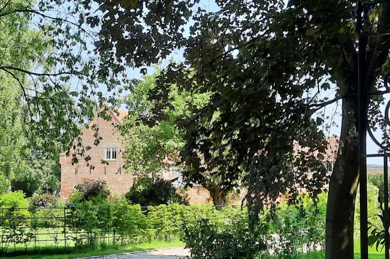
Barn. Mid C18. Red brick. Pantile roof. Brick coped gables
with kneelers. Large doorway with large C20 sliding door.
Included for group value only.
Listing NGR: SK6769957687
External links are from the relevant listing authority and, where applicable, Wikidata. Wikidata IDs may be related buildings as well as this specific building. If you want to add or update a link, you will need to do so by editing the Wikidata entry.


Other nearby listed buildings
