Latitude: 51.4577 / 51°27'27"N
Longitude: -2.6135 / 2°36'48"W
OS Eastings: 357470
OS Northings: 173366
OS Grid: ST574733
Mapcode National: GBR C3J.Y9
Mapcode Global: VH88M.NM6D
Plus Code: 9C3VF95P+3H
Entry Name: 5 and 7, Pembroke Road
Listing Date: 4 March 1977
Last Amended: 30 December 1994
Grade: II
Source: Historic England
Source ID: 1202434
English Heritage Legacy ID: 380152
ID on this website: 101202434
Location: Victoria Park, Bristol, BS8
County: City of Bristol
Electoral Ward/Division: Clifton Down
Parish: Non Civil Parish
Built-Up Area: Bristol
Traditional County: Gloucestershire
Lieutenancy Area (Ceremonial County): Bristol
Church of England Parish: Clifton Christ Church with Emmanuel
Church of England Diocese: Bristol
Tagged with: Building
BRISTOL
ST5773SW PEMBROKE ROAD, Clifton 901-1/8/909 (South West side) 04/03/77 Nos.5 AND 7 (Formerly Listed as: PEMBROKE ROAD (West side) Nos.1-11 (Odd))
GV II
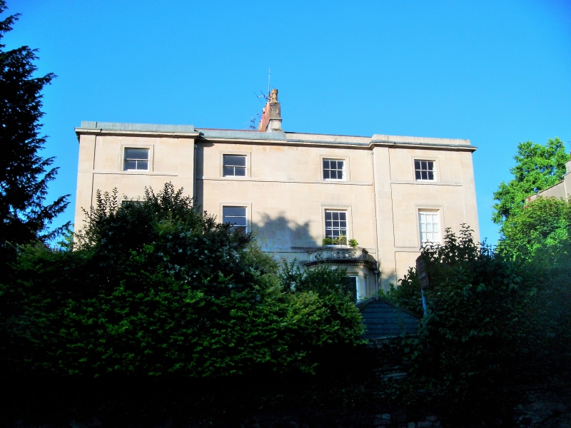
Pair of attached houses. c1840. Limestone ashlar, lateral and party wall stacks and a pantile hipped roof. Double-depth plan. 3 storeys and basement; 2-window range. A symmetrical front with pilasters to shallow wings, first- and second-floor sill bands and eaves. Doorways in the returns have imposts, 6-panel doors with side and overlights. Inner tripartite windows and architraves to the rest, 6/6-pane sashes, some with horizontal bars; No.7 has a canted inner bay. INTERIOR not inspected. Forms a pair with Nos 9 & 11 (qv).
Listing NGR: ST5747073366
External links are from the relevant listing authority and, where applicable, Wikidata. Wikidata IDs may be related buildings as well as this specific building. If you want to add or update a link, you will need to do so by editing the Wikidata entry.


Other nearby listed buildings