Latitude: 51.4719 / 51°28'18"N
Longitude: -2.6187 / 2°37'7"W
OS Eastings: 357120
OS Northings: 174950
OS Grid: ST571749
Mapcode National: GBR C2C.R6
Mapcode Global: VH88M.K8FH
Plus Code: 9C3VF9CJ+QG
Entry Name: Drinking Fountain at St 5712 7495
Listing Date: 4 March 1977
Last Amended: 30 December 1994
Grade: II
Source: Historic England
Source ID: 1202603
English Heritage Legacy ID: 380625
ID on this website: 101202603
Location: Redland, Bristol, BS8
County: City of Bristol
Electoral Ward/Division: Stoke Bishop
Parish: Non Civil Parish
Built-Up Area: Bristol
Traditional County: Gloucestershire
Lieutenancy Area (Ceremonial County): Bristol
Church of England Parish: Westbury-on-Trym
Church of England Diocese: Bristol
Tagged with: Drinking fountain
BRISTOL
ST5774 STOKE ROAD, Clifton 901-1/34/1822 (North side) 04/03/77 Drinking fountain at ST 5712 7495 (Formerly Listed as: STOKE ROAD Drinking fountain on north side of road)
II
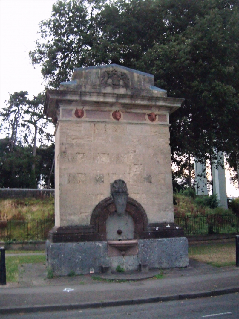
Drinking fountain. Dated 1877. For the Bath and West of England Agricultural Society. Bath stone with Portland plinth and Pennant, Mansfield and granite dressings. Rectangular plan. Large rectangular stele with a Pennant apron in front of the plinth, a granite basin, Mansfield moulding to a semicircular arch with a large key above the slate plaque; granite frieze with terracotta animal heads, heavy cornice and sloping top. Erected by the Bath and West of England Agricultural Society, and unveiled by Mayor George Edwards.
Listing NGR: ST5712074950
External links are from the relevant listing authority and, where applicable, Wikidata. Wikidata IDs may be related buildings as well as this specific building. If you want to add or update a link, you will need to do so by editing the Wikidata entry.


Other nearby listed buildings