Latitude: 51.795 / 51°47'42"N
Longitude: 0.0398 / 0°2'23"E
OS Eastings: 540767
OS Northings: 212674
OS Grid: TL407126
Mapcode National: GBR LD6.JVH
Mapcode Global: VHHM5.M4XS
Plus Code: 9F32Q2WQ+2W
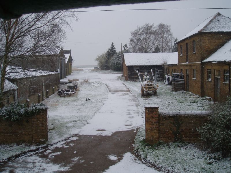
Entry Name: Stables and Attached Granary at Olives Farm 45 Metres North West of Farmhouse
Listing Date: 30 September 1983
Grade: II
Source: Historic England
Source ID: 1203927
English Heritage Legacy ID: 355975
ID on this website: 101203927
Location: East Hertfordshire, SG12
County: Hertfordshire
District: East Hertfordshire
Civil Parish: Stanstead Abbots
Traditional County: Hertfordshire
Lieutenancy Area (Ceremonial County): Hertfordshire
Church of England Parish: Stanstead Abbots
Church of England Diocese: St.Albans
TL 41SW STANSTEAD ABBOTS STANSTEAD ROAD (south side) 6/3 Stables and attached Granary at Olives Farm 45 metres NW of farmhouse
GV II
Early C19 (but on Tithe Map of 1842). The larger western part of a symmetrical grey brick 1-storey stable range with central 2- storeys projecting brick granary, facing S. The eastern stable range is listed under Hunsdon parish. Red tiled hipped roofs. Central granary has gauged buff brick arches to 2 windows on ground and 1st floors. Recessed sash windows with 15/10 small panes. Double doors central leading to wide steep stair to upper floor. Lower stable range with 2 boarded stable doors with fanlights of 21 small panes flanked by high set sash windows of 10/10 panes. Later crosswing at W and with pitched roof hipped at S end. This imposing brick range forms part of a symmetrical composition. Part of an historic group with Olives Farm house.
Listing NGR: TL4076712674
External links are from the relevant listing authority and, where applicable, Wikidata. Wikidata IDs may be related buildings as well as this specific building. If you want to add or update a link, you will need to do so by editing the Wikidata entry.


Other nearby listed buildings