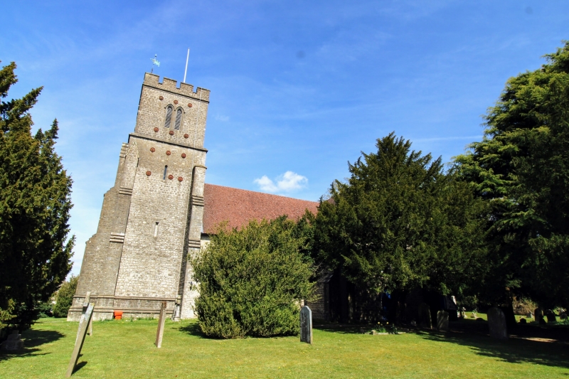
Latitude: 51.2892 / 51°17'21"N
Longitude: 0.3252 / 0°19'30"E
OS Eastings: 562235
OS Northings: 157019
OS Grid: TQ622570
Mapcode National: GBR Z5.NMW
Mapcode Global: VHHPN.LV9K
Plus Code: 9F3278QG+M3
Entry Name: Church of St Mary
Listing Date: 25 August 1959
Grade: II
Source: Historic England
Source ID: 1204270
English Heritage Legacy ID: 357300
Also known as: St Mary's Church, Platt, Kent
ID on this website: 101204270
Location: St Mary's Church, Platt, Tonbridge and Malling, Kent, TN15
County: Kent
District: Tonbridge and Malling
Civil Parish: Platt
Built-Up Area: Borough Green
Traditional County: Kent
Lieutenancy Area (Ceremonial County): Kent
Church of England Parish: Platt St Mary the Virgin
Church of England Diocese: Rochester
Tagged with: Church building
TQ 65 NW PLATT CHURCH ROAD 2/12 (east side)
25.8.59 Church of St Mary GV II
Anglican Church. 1841-42 by Whichcord and Walker. Early English in detail, though Perpendicular in form. Coursed rubble stone with some ashlar dressings, slate roofs. Cruciform church with crenellated west tower, nave, chancel and transeptal chapels. Octagonal stair-turret on north-east corner of tower. Door in moulded, columned opening in west face of tower with 3-light window above transepts and chancel gabled with parapet-copings. Three-light east window, 2-light transept windows, all with simple geometrical tracery. Three-bay nave with lancet windows. South door in centre of south transept and with moulded arched surround. Interior. Timber roof with very widely projecting hammer beams, decorated by large circles in the spandrels, dramatically crowding the crossing with flying arches.
Listing NGR: TQ6220257039
External links are from the relevant listing authority and, where applicable, Wikidata. Wikidata IDs may be related buildings as well as this specific building. If you want to add or update a link, you will need to do so by editing the Wikidata entry.


Other nearby listed buildings