Latitude: 50.5387 / 50°32'19"N
Longitude: -2.429 / 2°25'44"W
OS Eastings: 369694
OS Northings: 71078
OS Grid: SY696710
Mapcode National: GBR PZ.445B
Mapcode Global: FRA 57SM.ZFM
Plus Code: 9C2VGHQC+F9
Entry Name: Retaining Wall to Churchyard to South of Church of St Andrew
Listing Date: 21 September 1978
Last Amended: 17 May 1993
Grade: II
Source: Historic England
Source ID: 1205401
English Heritage Legacy ID: 381922
ID on this website: 101205401
Location: Easton, Dorset, DT5
County: Dorset
Civil Parish: Portland
Built-Up Area: Weston
Traditional County: Dorset
Lieutenancy Area (Ceremonial County): Dorset
Church of England Parish: Portland All Saints
Church of England Diocese: Salisbury
Tagged with: Retaining wall
PORTLAND
SY6871 CHURCH OPE ROAD, Easton 969-1/4/30 (South side) 21/09/78 Retaining wall to churchyard to S of Church of St Andrew (Formerly Listed as: CHURCH OPE ROAD RETAINING WALL OF GRAVEYARD AT ST ANDREWS CHURCH)
GV II
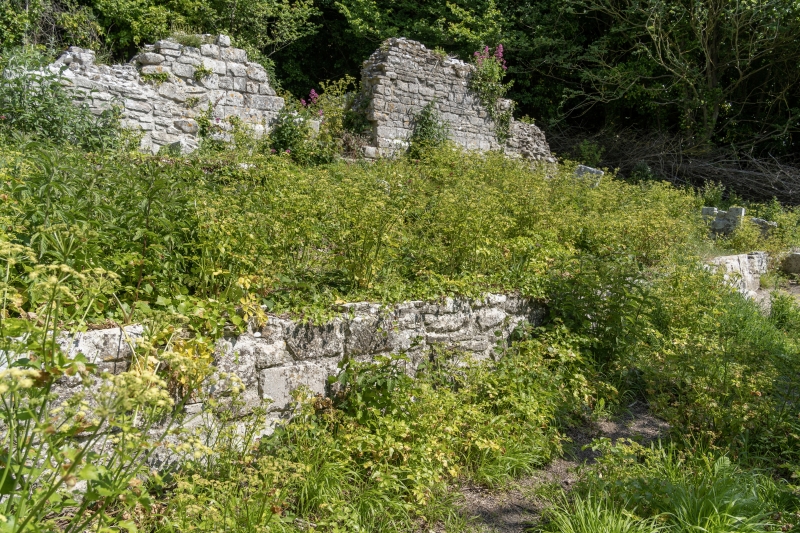
Churchyard retaining wall. Partly medieval, occasionally repaired. Rubble and squared coursed stone. Wall lies south of the ruins of St. Andrew (qv), retaining both church and graveyard on a platform from 15m to 20m wide on its S side, extending c 45m, but heavily overgrown (May 1991), stepping down the cliff-side.
Listing NGR: SY6969471078
External links are from the relevant listing authority and, where applicable, Wikidata. Wikidata IDs may be related buildings as well as this specific building. If you want to add or update a link, you will need to do so by editing the Wikidata entry.


Other nearby listed buildings