Latitude: 53.3472 / 53°20'49"N
Longitude: -1.1177 / 1°7'3"W
OS Eastings: 458834
OS Northings: 383732
OS Grid: SK588837
Mapcode National: GBR NYMQ.TT
Mapcode Global: WHDF1.S4Y8
Plus Code: 9C5W8VWJ+VW
Entry Name: Stable at Low Field Farm
Listing Date: 12 April 1985
Grade: II
Source: Historic England
Source ID: 1206352
English Heritage Legacy ID: 241369
ID on this website: 101206352
Location: South Carlton, Bassetlaw, Nottinghamshire, S81
County: Nottinghamshire
District: Bassetlaw
Civil Parish: Carlton in Lindrick
Built-Up Area: Carlton in Lindrick
Traditional County: Nottinghamshire
Lieutenancy Area (Ceremonial County): Nottinghamshire
Church of England Parish: Carlton-in-Lindrick
Church of England Diocese: Southwell and Nottingham
Tagged with: Stable
SK 58 SE CARLTON-IN-LINDRICK CHURCH LANE South Carlton (South side)
4/13 Stable at Low Field Farm
G.V. II
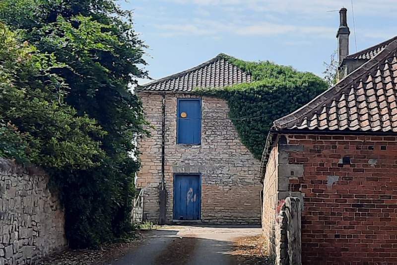
Stable, formerly cottage. Late C18. Dressed coursed rubble, hipped pantile roof. 2 storeys, 3 bays. Central doorway flanked by single window openings. Above are 2 window openings. All openings are blocked and have flush splayed lintels and slightly projecting keystones. Included for group value only.
Listing NGR: SK5882183730
External links are from the relevant listing authority and, where applicable, Wikidata. Wikidata IDs may be related buildings as well as this specific building. If you want to add or update a link, you will need to do so by editing the Wikidata entry.


Other nearby listed buildings