Latitude: 51.2113 / 51°12'40"N
Longitude: -3.4803 / 3°28'49"W
OS Eastings: 296694
OS Northings: 146825
OS Grid: SS966468
Mapcode National: GBR LJ.3VH7
Mapcode Global: VH5JY.MTGB
Plus Code: 9C3R6G69+GV
Entry Name: Walls and Gate to Parish Church of St Michael
Listing Date: 30 September 1994
Grade: II
Source: Historic England
Source ID: 1207001
English Heritage Legacy ID: 391230
ID on this website: 101207001
Location: St Michael's Church, Higher Town, Somerset, TA24
County: Somerset
District: Somerset West and Taunton
Civil Parish: Minehead
Built-Up Area: Minehead
Traditional County: Somerset
Lieutenancy Area (Ceremonial County): Somerset
Tagged with: Wall
MINEHEAD
SS9646 ST MICHAEL'S ROAD 900-1/3/74 (North side) Walls and gate to Parish Church of St Michael
GV II
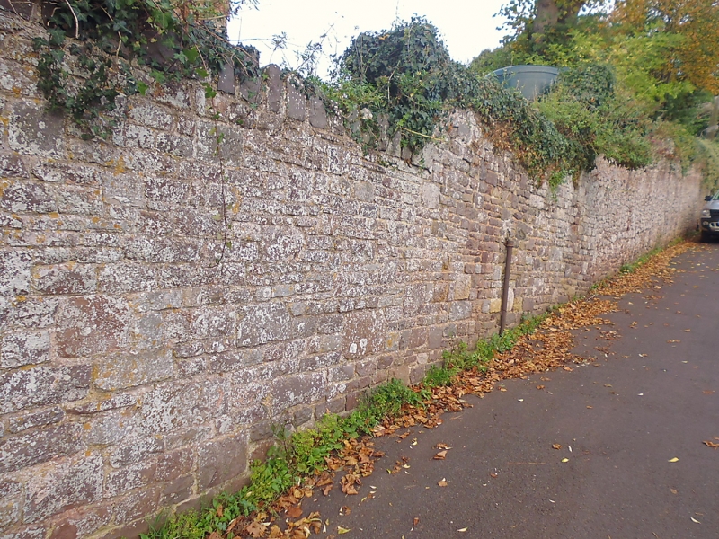
Walls and gate to church. C19. Rubblestone walls; timber lychgate with tile roof. Walls to the south and east are substantial retaining walls, that to the south is approx 3m high and 100m long, it also flanks steps approaching the west end. A late C19 plain-tiled lych gate with red sandstone piers stands at the south corner of the east wall; approx 50m of east wall increases in 5 steps from approx 2m to 3m. Ivy-covered rubblestone walls enclose the north and west side of the churchyard.
Listing NGR: SS9669446825
External links are from the relevant listing authority and, where applicable, Wikidata. Wikidata IDs may be related buildings as well as this specific building. If you want to add or update a link, you will need to do so by editing the Wikidata entry.


Other nearby listed buildings