Latitude: 51.4452 / 51°26'42"N
Longitude: -2.5986 / 2°35'55"W
OS Eastings: 358492
OS Northings: 171970
OS Grid: ST584719
Mapcode National: GBR C7N.8S
Mapcode Global: VH88M.XX2Z
Plus Code: 9C3VCCW2+3G
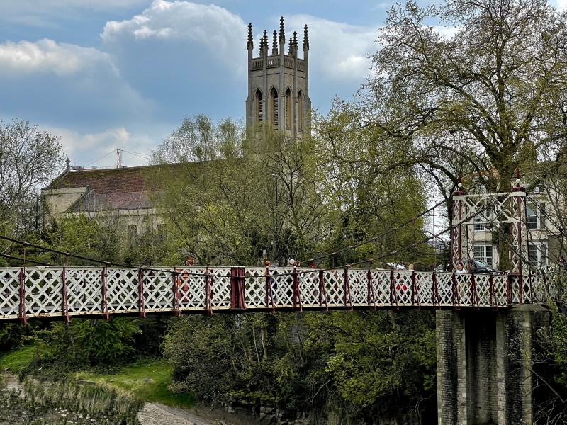
Entry Name: Tower of the Church of St Paul (Other Parts of the Church Not Included)
Listing Date: 4 March 1977
Last Amended: 30 December 1994
Grade: II
Source: Historic England
Source ID: 1207552
English Heritage Legacy ID: 379406
ID on this website: 101207552
Location: St Paul's Church, Southville, Bristol, BS3
County: City of Bristol
Electoral Ward/Division: Southville
Parish: Non Civil Parish
Built-Up Area: Bristol
Traditional County: Somerset
Lieutenancy Area (Ceremonial County): Bristol
Church of England Parish: Bedminster
Church of England Diocese: Bristol
Tagged with: Tower Church tower
BRISTOL
ST315871 CORONATION ROAD, Southville 901-1/45/1826 (South side) 04/03/77 Tower of the Church of St Paul (other parts of church not included) (Formerly Listed as: CORONATION ROAD Church of St Paul)
II
Church tower. 1829-31. By C Dyer. Limestone ashlar. Square 2-stage tower with diagonal buttresses, a deep weathering to the belfry, with central buttresses between tall louvred windows rising from the belfry to an openwork parapet, and tall crocketed pinnacles. W doorway. INTERIOR not inspected. The body of the church was gutted in the Second World War, and subsequently rebuilt. Covered by scaffolding at the time of survey.
Listing NGR: ST5849271970
External links are from the relevant listing authority and, where applicable, Wikidata. Wikidata IDs may be related buildings as well as this specific building. If you want to add or update a link, you will need to do so by editing the Wikidata entry.


Other nearby listed buildings