Approximate Location Map
Large Map »
Latitude: 53.015 / 53°0'53"N
Longitude: -1.7387 / 1°44'19"W
OS Eastings: 417628
OS Northings: 346440
OS Grid: SK176464
Mapcode National: GBR 48P.Z3Q
Mapcode Global: WHCF5.8H90
Plus Code: 9C5W2776+XG
Entry Name: Parish Church of St Oswald
Listing Date: 15 June 1951
Grade: I
Source: Historic England
Source ID: 1207715
English Heritage Legacy ID: 79839
ID on this website: 101207715
Location: St Oswald's Church, Bellevue, Derbyshire Dales, Derbyshire, DE6
County: Derbyshire
District: Derbyshire Dales
Civil Parish: Ashbourne
Built-Up Area: Ashbourne
Traditional County: Derbyshire
Lieutenancy Area (Ceremonial County): Derbyshire
Church of England Parish: Ashbourne St Oswald
Church of England Diocese: Derby
Tagged with: Church building
822/1/24; 822/2/24
CHURCH STREET (south-east side)
Parish Church of St Oswald
15-JUN-51
GV
I
Early foundation. Present church is mainly Early English from circa 1220 but
a few remnants of earlier Norman work survive and a Saxon cross shaft (part)
in the south aisle. The church is believed to stand on the site of a pagan holy
well, now thought to be concealed beneath tyre crossing. The tower and spire
circa 1330. The spire, which has been rebuilt several times, has a height of
215ft. Perpendicular additions and alterations circa 1520. The battlements
to the chancel were added by Sir G G Scott in 1878 and the church was restored
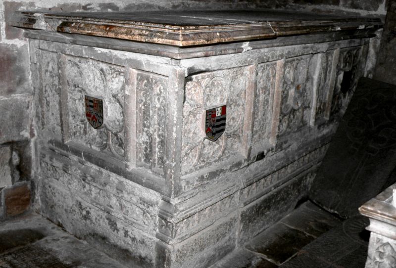
by Cottingham earlier in the C19. Some fine monuments from C14, of which the
most famous is probably the figure of Penelope Boothby 1791, by Thomas Banks.
Some mediaeval glass remains.
In 1644, the church was fired on by Parliamentarians and the marks are still
visible in the west wall.
Nos 38, 40 and 72, together with Pegg's Almshouses, Owlfield's Almhouses, The
Mansion, the Summerhouse and the cobbled pavements form a group with the parish
Church of St Oswald and the churchyard gate piers, gates and walls.
Listing NGR: SK1763146443
External links are from the relevant listing authority and, where applicable, Wikidata. Wikidata IDs may be related buildings as well as this specific building. If you want to add or update a link, you will need to do so by editing the Wikidata entry.


Other nearby listed buildings
