Latitude: 52.4554 / 52°27'19"N
Longitude: -1.2024 / 1°12'8"W
OS Eastings: 454294
OS Northings: 284464
OS Grid: SP542844
Mapcode National: GBR 8PP.2TF
Mapcode Global: VHCTD.3KP0
Plus Code: 9C4WFQ4X+52
Entry Name: Tomb Chest and Railings 20 Metres East of Church of St Mary
Listing Date: 30 September 1993
Grade: II
Source: Historic England
Source ID: 1209168
English Heritage Legacy ID: 392560
ID on this website: 101209168
Location: St Mary's Church, Lutterworth, Harborough, Leicestershire, LE17
County: Leicestershire
District: Harborough
Civil Parish: Lutterworth
Built-Up Area: Lutterworth
Traditional County: Leicestershire
Lieutenancy Area (Ceremonial County): Leicestershire
Church of England Parish: Lutterworth St Mary
Church of England Diocese: Leicester
Tagged with: Tomb
LUTTERWORTH CHURCH STREET SP5484 1323-0/9/67 Tomb chest and railings 20 metres east of Church of St Mary II
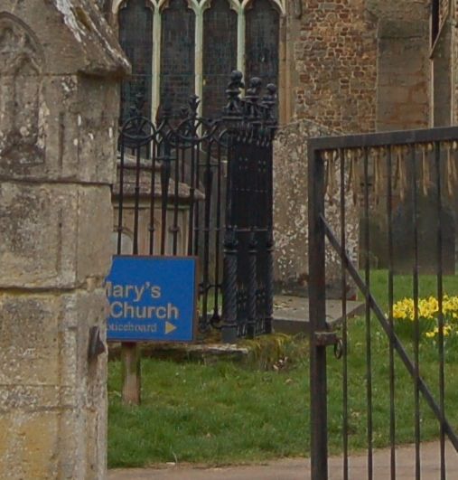
Tomb chest to Ann Till, d. 1855. Stone with moulded and raised cap, paired corner pilasters and ogee-headed epitaph panels. Elaborate cast iron railings with putti heads to corner uprights (one missing); varied finials elsewhere and intersecting top and looped bottom rails.
Listing NGR: SP5429484464
External links are from the relevant listing authority and, where applicable, Wikidata. Wikidata IDs may be related buildings as well as this specific building. If you want to add or update a link, you will need to do so by editing the Wikidata entry.


Other nearby listed buildings