Approximate Location Map
Large Map »
Latitude: 50.9992 / 50°59'57"N
Longitude: -0.7856 / 0°47'8"W
OS Eastings: 485315
OS Northings: 122899
OS Grid: SU853228
Mapcode National: GBR DDV.672
Mapcode Global: FRA 967G.PT6
Plus Code: 9C2XX6X7+MQ
Entry Name: Iping Bridge
Listing Date: 18 June 1959
Grade: II
Source: Historic England
Source ID: 1217259
English Heritage Legacy ID: 412080
ID on this website: 101217259
Location: Iping, Chichester, West Sussex, GU29
County: West Sussex
District: Chichester
Civil Parish: Stedham with Iping
Traditional County: Sussex
Lieutenancy Area (Ceremonial County): West Sussex
Church of England Parish: Stedham with Iping
Church of England Diocese: Chichester
STEDHAM WITH IPING IPING LANE
SU 82 SE
11/2 Iping Bridge
18.6.59
- II
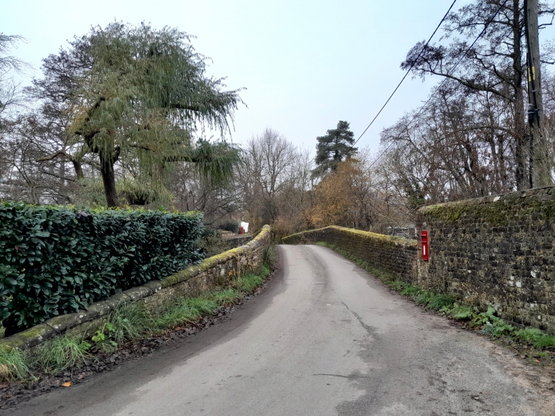
C17. Narrow stone bridge of five ribbed arches. Four pointed cutwaters on the
upstream side, four on the downstream side. Scheduled Ancient Monument.
Listing NGR: SU8531522899
External links are from the relevant listing authority and, where applicable, Wikidata. Wikidata IDs may be related buildings as well as this specific building. If you want to add or update a link, you will need to do so by editing the Wikidata entry.


Other nearby listed buildings
