Latitude: 50.6775 / 50°40'38"N
Longitude: -1.4015 / 1°24'5"W
OS Eastings: 442385
OS Northings: 86592
OS Grid: SZ423865
Mapcode National: GBR 8BL.DHN
Mapcode Global: FRA 77Y9.3TB
Plus Code: 9C2WMHGX+XC
Entry Name: Barrington Row
Listing Date: 22 November 1985
Grade: II
Source: Historic England
Source ID: 1218953
English Heritage Legacy ID: 393042
ID on this website: 101218953
Location: Calbourne, Isle of Wight, PO30
County: Isle of Wight
Civil Parish: Calbourne
Traditional County: Hampshire
Lieutenancy Area (Ceremonial County): Isle of Wight
Church of England Parish: Calbourne All Saints
Church of England Diocese: Portsmouth
Tagged with: Terrace of houses Cottage
CALBOURNE
SZ48NW WINKLE STREET 1354-0/6/152 Nos 5,6 and 7 Barrington Row 22/11/85
GV II
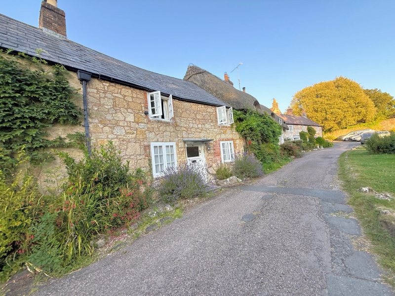
Row of cottages. C18. Built of coursed stone rubble with red brick dressings. No 6 painted. Slate roof with 2 brick chimneystacks. 2 storeys 6 windows. Casement windows. Nos 5 & 6 have flat wooden weatherhoods on brackets. No 7 has a C20 lean-to slate weatherhood.
Listing NGR: SZ4238586592
External links are from the relevant listing authority and, where applicable, Wikidata. Wikidata IDs may be related buildings as well as this specific building. If you want to add or update a link, you will need to do so by editing the Wikidata entry.


Other nearby listed buildings