Latitude: 51.3603 / 51°21'37"N
Longitude: 1.4426 / 1°26'33"E
OS Eastings: 639764
OS Northings: 167988
OS Grid: TR397679
Mapcode National: GBR X07.RJV
Mapcode Global: VHMCW.Y2JH
Plus Code: 9F339C6V+43
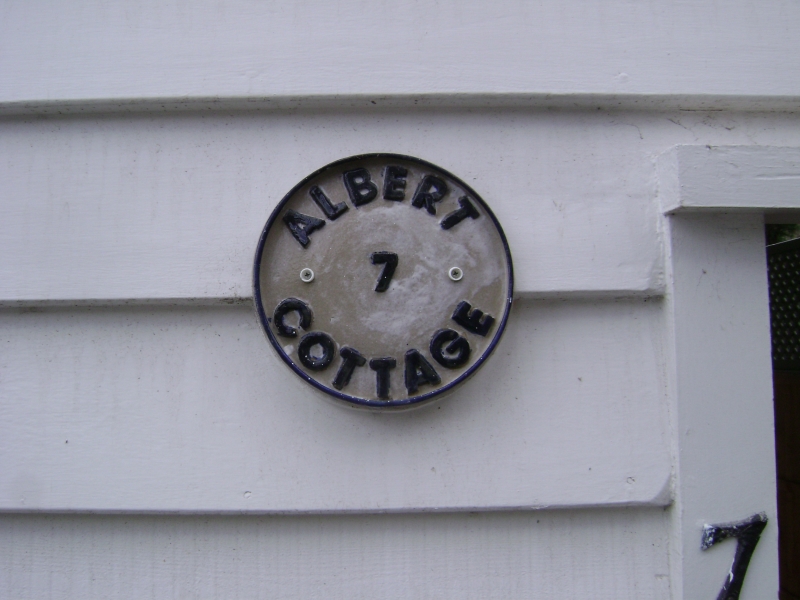
Entry Name: Albert Cottage
Listing Date: 20 September 1974
Grade: II
Source: Historic England
Source ID: 1222978
English Heritage Legacy ID: 418490
ID on this website: 101222978
Location: Broadstairs, Thanet, Kent, CT10
County: Kent
District: Thanet
Civil Parish: Broadstairs and St. Peters
Built-Up Area: Broadstairs
Traditional County: Kent
Lieutenancy Area (Ceremonial County): Kent
Tagged with: Cottage
TUNIS ROW 1. 5283 (South West Side) BROADSTAIRS No 7 (Albert Cottage) TR 3967 NE 1/172 II
2. One of the only 2 tarred weatherboarded cottages remaining in Broadstairs. 2 storeys weatherboarded, the rear elevation is tarred and overhangs a passage. 2 parallel ranges. Slate roof. 2 altered windows to the front elevation and 1 modern window to left side elevation.
Listing NGR: TR3976467988
External links are from the relevant listing authority and, where applicable, Wikidata. Wikidata IDs may be related buildings as well as this specific building. If you want to add or update a link, you will need to do so by editing the Wikidata entry.


Other nearby listed buildings