Latitude: 51.3306 / 51°19'50"N
Longitude: 1.3159 / 1°18'57"E
OS Eastings: 631092
OS Northings: 164276
OS Grid: TR310642
Mapcode National: GBR X0G.HJ2
Mapcode Global: VHLGC.RTJB
Plus Code: 9F3388J8+69
Entry Name: Group of Chest Tombs North of Church of Saint Mary
Listing Date: 7 October 1986
Grade: II
Source: Historic England
Source ID: 1223813
English Heritage Legacy ID: 419684
ID on this website: 101223813
Location: St Mary's Church, Durlock, Thanet, Kent, CT12
County: Kent
District: Thanet
Civil Parish: Minster
Built-Up Area: Minster (Thanet)
Traditional County: Kent
Lieutenancy Area (Ceremonial County): Kent
Tagged with: Chest tomb
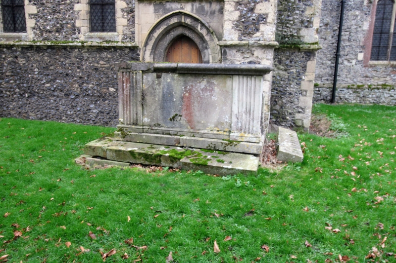
MINSTER CHURCH STREET TR 3064-3164 (South Side) 5/18 Group of chest tombs north of Church of St. Mary GV II Group of chest tombs. Anne Clipman, d.1819, about 1 metre north of north transept. Fluted corner piers. Margaret Collet, d.1838, about 10 metres north of church, large base area, with railings missing. Unusual splayed and reeded corner piers with folded side panels. Late C18 chest tomb, illegible inscription, about 20 metres north-west of the church. Corner piers with symbols of death and burial. Raised and moulded side panels. Elizabeth Wootton, d.1784. About 23 metres north west of the church. Fluted baluster piers in recessed corners, and raised side panels of curving outline.
Listing NGR: TR3109264276
External links are from the relevant listing authority and, where applicable, Wikidata. Wikidata IDs may be related buildings as well as this specific building. If you want to add or update a link, you will need to do so by editing the Wikidata entry.


Other nearby listed buildings