Latitude: 51.7857 / 51°47'8"N
Longitude: -2.194 / 2°11'38"W
OS Eastings: 386713
OS Northings: 209694
OS Grid: SO867096
Mapcode National: GBR 1M0.XTS
Mapcode Global: VH94R.XCGW
Plus Code: 9C3VQRP4+79
Entry Name: Wayside
Listing Date: 24 August 1990
Grade: II
Source: Historic England
Source ID: 1223845
English Heritage Legacy ID: 133549
ID on this website: 101223845
Location: Painswick, Stroud, Gloucestershire, GL6
County: Gloucestershire
District: Stroud
Civil Parish: Painswick
Built-Up Area: Painswick
Traditional County: Gloucestershire
Lieutenancy Area (Ceremonial County): Gloucestershire
Church of England Parish: Painswick St Mary the Virgin
Church of England Diocese: Gloucester
Tagged with: Building
PAINSWICK VICTORIA STREET SO 8609 (part) (north side)
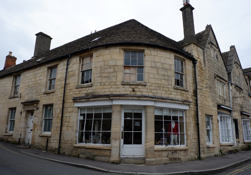
8/352 Wayside GV II House in row. Front to street is mid C19, but back parallel range is C17 or early C18. Coursed and squared limestone, concrete tile roof, corrugated asbestos cement to back range. Front is two storeys, 2 windows, 4-pane sashes flanking C20 glazed door under a transom light. Two brick stacks. The rear range has an east-facing gable in two storeys and attic with 3-light recessed chamfer mullion Casements to stopped hoods at ground and first floor, and 2-light with full-width drip in gable. Back wall has a 2-light with stopped hood at ground and first floors; to the left a slightly canted section with plank door in chamfered surround; above this the stone wall is slightly 'jettied'. It seems likely that this back section and Wool Cottage (q.v.) adjoining were built as two small wool-workers' cottages, later faced up with a new section to the street.
Listing NGR: SO8671409692
External links are from the relevant listing authority and, where applicable, Wikidata. Wikidata IDs may be related buildings as well as this specific building. If you want to add or update a link, you will need to do so by editing the Wikidata entry.


Other nearby listed buildings