Approximate Location Map
Large Map »
Latitude: 55.5501 / 55°33'0"N
Longitude: -1.6257 / 1°37'32"W
OS Eastings: 423712
OS Northings: 628547
OS Grid: NU237285
Mapcode National: GBR K428.T8
Mapcode Global: WHC0V.0R4M
Plus Code: 9C7WH92F+2P
Entry Name: Beadnell Harbour Piers
Listing Date: 26 August 1987
Grade: II
Source: Historic England
Source ID: 1233049
English Heritage Legacy ID: 408482
ID on this website: 101233049
Location: Northumberland, NE67
County: Northumberland
Civil Parish: Beadnell
Built-Up Area: Beadnell
Traditional County: Northumberland
Lieutenancy Area (Ceremonial County): Northumberland
Church of England Parish: Beadnell St Ebba
Church of England Diocese: Newcastle
Tagged with: Architectural structure
NU 22 NW
12/68
BEADNELL
BEADNELL HARBOUR
Beadnell Harbour
piers
GV
II
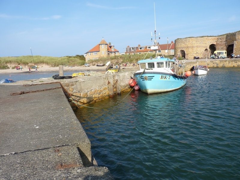
Harbour piers. C18, extended 1798 for John Wood of Beadnell Hall. Large
blocks of squared stone. Two L-plan piers c.50 yards long forming small
harbour.
Extended for the export of lime from the adjacent kilns and of herring from
demolished drying house.
Listing NGR: NU2371228547
External links are from the relevant listing authority and, where applicable, Wikidata. Wikidata IDs may be related buildings as well as this specific building. If you want to add or update a link, you will need to do so by editing the Wikidata entry.


Other nearby listed buildings
