Latitude: 50.8625 / 50°51'45"N
Longitude: -0.9263 / 0°55'34"W
OS Eastings: 475659
OS Northings: 107551
OS Grid: SU756075
Mapcode National: GBR CDW.SRM
Mapcode Global: FRA 86YT.GY3
Plus Code: 9C2XV37F+2F
Entry Name: Gate Piers to the East of Westbourne House
Listing Date: 28 January 1986
Grade: II
Source: Historic England
Source ID: 1234612
English Heritage Legacy ID: 301373
ID on this website: 101234612
Location: Westbourne, Chichester, West Sussex, PO10
County: West Sussex
District: Chichester
Civil Parish: Westbourne
Built-Up Area: Emsworth
Traditional County: Sussex
Lieutenancy Area (Ceremonial County): West Sussex
Church of England Parish: Westbourne St John the Baptist
Church of England Diocese: Chichester
Tagged with: Gatepost
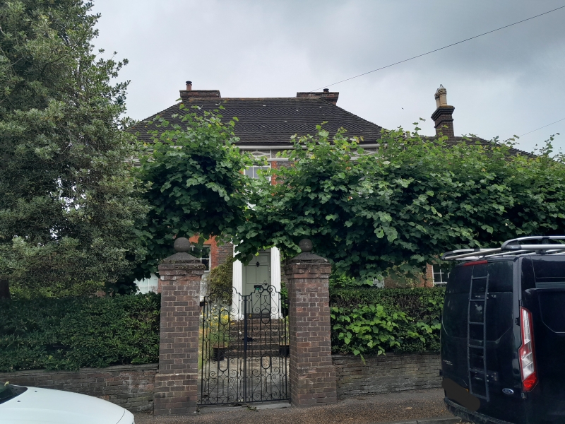
WESTBOURNE NORTH STREET
SU 7407-7507 (west side)
24/468A Gate piers to the east of
Westbourne House
-
- II
C18. Square red brick piers with large stone caps.
Listing NGR: SU7565907551
External links are from the relevant listing authority and, where applicable, Wikidata. Wikidata IDs may be related buildings as well as this specific building. If you want to add or update a link, you will need to do so by editing the Wikidata entry.


Other nearby listed buildings