Latitude: 52.764 / 52°45'50"N
Longitude: -0.8868 / 0°53'12"W
OS Eastings: 475211
OS Northings: 319066
OS Grid: SK752190
Mapcode National: GBR BNW.QMC
Mapcode Global: WHFK0.BSYF
Plus Code: 9C4XQ477+H7
Entry Name: 12 and 14, Church Street
Listing Date: 12 October 1976
Grade: II
Source: Historic England
Source ID: 1235398
English Heritage Legacy ID: 426077
ID on this website: 101235398
Location: Melton Mowbray, Melton, Leicestershire, LE13
County: Leicestershire
District: Melton
Electoral Ward/Division: Melton Warwick
Parish: Non Civil Parish
Built-Up Area: Melton Mowbray
Traditional County: Leicestershire
Lieutenancy Area (Ceremonial County): Leicestershire
Church of England Parish: Melton Mowbray Team
Church of England Diocese: Leicester
Tagged with: Building
1. 5305 CHURCH STREET (West Side) Nos 12 and 14 SK 7519 SW 1/29
II GV
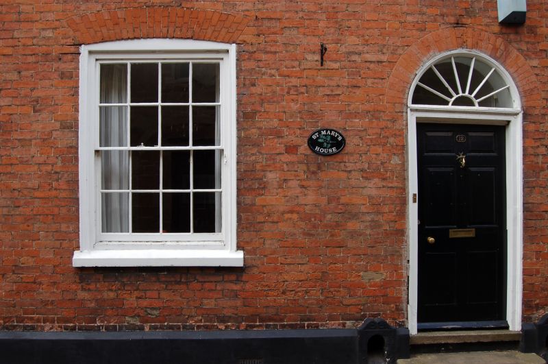
2. Late C18/early C19. Red brick facade with stuccoed plinth and good moulded eaves cornice. Slates. 2 storeys. 3 windows, 1st floor modern casements, ground floor barred casements. Centre round arched door with simple ornamented radial fanlight, 6 panels. Early C19 style doorcase with moulded architrave. Steps. The adjoining No 14 to south is of early C19. Painted brick facade. 2 storeys. 1 early C19 bay shop window with glazing bars cornice and pilasters.
No 6, 8, Nos 12 to 18 (even) with the western workshop and garden wall at No 18 form a group with the rear wing of The Grapes Inn, Market Place and The Parish Church of St Mary. (Nos 6 and 8 are of local interest with the western workshop and garden wall at No 18).
Listing NGR: SK7521119066
External links are from the relevant listing authority and, where applicable, Wikidata. Wikidata IDs may be related buildings as well as this specific building. If you want to add or update a link, you will need to do so by editing the Wikidata entry.


Other nearby listed buildings