Latitude: 50.8433 / 50°50'35"N
Longitude: -0.6179 / 0°37'4"W
OS Eastings: 497404
OS Northings: 105772
OS Grid: SU974057
Mapcode National: GBR FJB.0LX
Mapcode Global: FRA 96LV.WMB
Plus Code: 9C2XR9VJ+8R
Entry Name: The Old Vicarage
Listing Date: 20 September 1984
Grade: II
Source: Historic England
Source ID: 1237619
English Heritage Legacy ID: 414734
ID on this website: 101237619
Location: Walberton, Arun, West Sussex, BN18
County: West Sussex
District: Arun
Civil Parish: Walberton
Built-Up Area: Westergate
Traditional County: Sussex
Lieutenancy Area (Ceremonial County): West Sussex
Church of England Parish: Walberton
Church of England Diocese: Chichester
Tagged with: Clergy house
SU 90NE WALBERTON THE STREET
8/409 (south side)
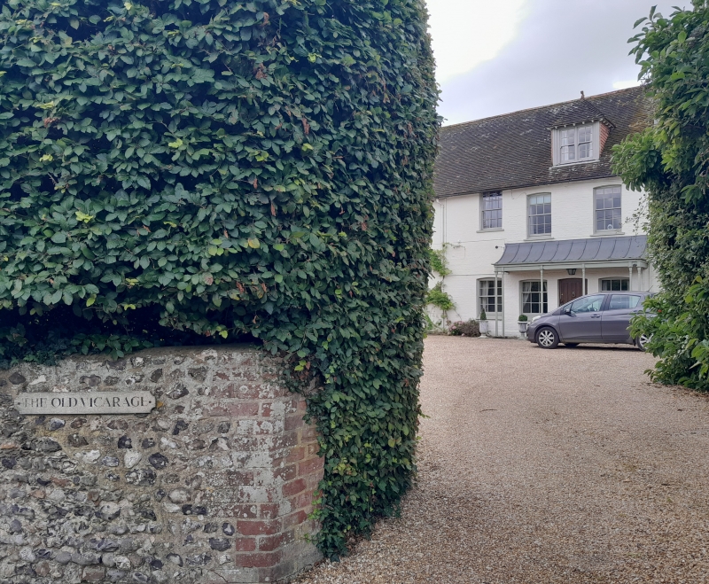
The Old Vicarage
II
C18. Two storeys. Six windows. Painted brick. Hipped tiled roof and attic. One
modern hipped dormer. Painted brick. Hipped tiled roof. Glazing bars intact.
Porch with four slender columns and tent-shaped canopy. Bay on west wall.
Listing NGR: SU9740905769
External links are from the relevant listing authority and, where applicable, Wikidata. Wikidata IDs may be related buildings as well as this specific building. If you want to add or update a link, you will need to do so by editing the Wikidata entry.


Other nearby listed buildings