Latitude: 53.3781 / 53°22'41"N
Longitude: -1.0735 / 1°4'24"W
OS Eastings: 461732
OS Northings: 387204
OS Grid: SK617872
Mapcode National: GBR NYYC.DR
Mapcode Global: WHFG0.HC14
Plus Code: 9C5W9WHG+6J
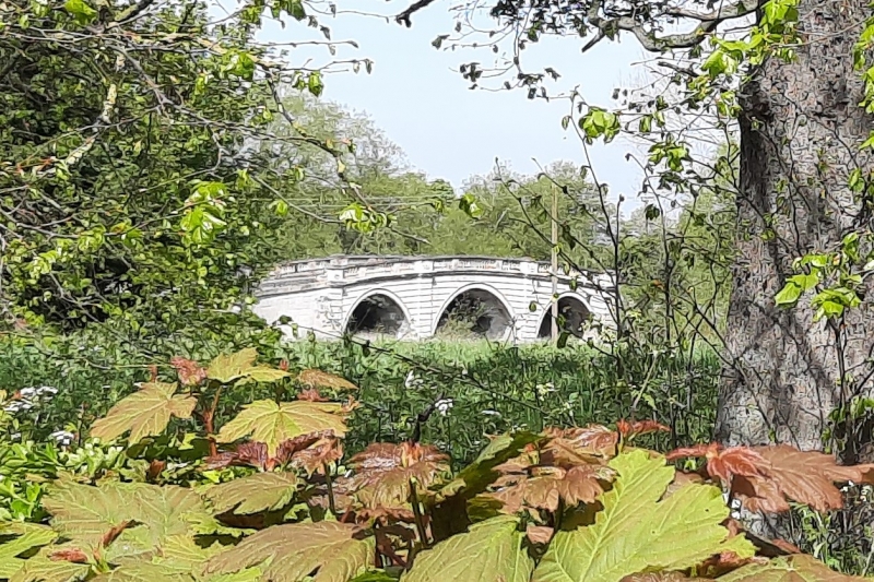
Entry Name: Blyth New Bridge
Listing Date: 4 January 1952
Last Amended: 27 November 1984
Grade: I
Source: Historic England
Source ID: 1238969
English Heritage Legacy ID: 416669
ID on this website: 101238969
Location: Nornay, Bassetlaw, Nottinghamshire, S81
County: Nottinghamshire
District: Bassetlaw
Civil Parish: Blyth
Built-Up Area: Blyth
Traditional County: Nottinghamshire
Lieutenancy Area (Ceremonial County): Nottinghamshire
Church of England Parish: Blyth
Church of England Diocese: Southwell and Nottingham
Tagged with: Road bridge
SK 68 NW BLYTH SHEFFIELD ROAD
Blyth New Bridge 2/71 (Formerly listed as The Bridge) 4.1.52 I
Bridge and retaining walls with wrought iron railings, c,1770, probably by John Carr of York for William Mellish of Blyth Hall. Ashlar and wrought iron. Set on a plinth. 3 rusticated ashlar arches with flat rusticated piers, dentillated cornice to the east and moulded cornice to the west. Each pier is surmounted by an ashlar block with coping, decorated to the west with a roundel and to the east with a roundel over a swag. In between these blocks run the coped and damaged balusters, forming a balustraded parapet which terminates in single decorative ashlar scrolls resting on the retaining approach walls. These walls are coped and have wrought iron railings with rusticated round terminal piers.
Listing NGR: SK6173287204
External links are from the relevant listing authority and, where applicable, Wikidata. Wikidata IDs may be related buildings as well as this specific building. If you want to add or update a link, you will need to do so by editing the Wikidata entry.


Other nearby listed buildings