Approximate Location Map
Large Map »
Latitude: 51.5192 / 51°31'9"N
Longitude: -0.1466 / 0°8'47"W
OS Eastings: 528691
OS Northings: 181657
OS Grid: TQ286816
Mapcode National: GBR C9.8L
Mapcode Global: VHGQZ.D2VQ
Plus Code: 9C3XGV93+M9
Entry Name: 7 and 9, Mansfield Mews W1
Listing Date: 5 February 1970
Grade: II
Source: Historic England
Source ID: 1239401
English Heritage Legacy ID: 417269
ID on this website: 101239401
Location: Marylebone, Westminster, London, W1G
County: London
District: City of Westminster
Electoral Ward/Division: West End
Parish: Non Civil Parish
Built-Up Area: City of Westminster
Traditional County: Middlesex
Lieutenancy Area (Ceremonial County): Greater London
Church of England Parish: All Souls Langham Place
Church of England Diocese: London
Tagged with: Building
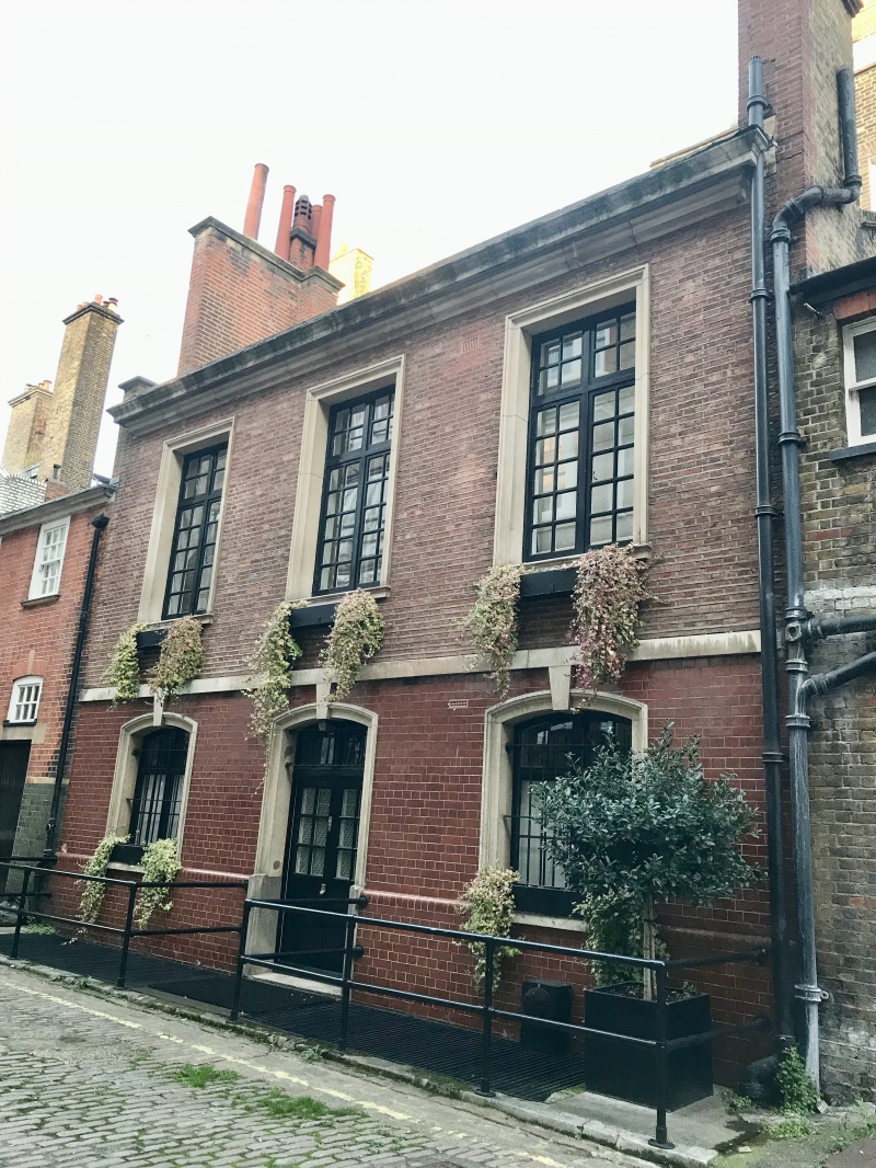
TQ 2881 SE CITY OF WESTMINSTER MANSFIELD MEWS, W1
45/77 (east side)
5.2.70 Nos 7 and 9
GV II
Stable-coach houses. c.1773 (altered mews front), associated with Robert
and James Adam's Nos. 11 and 13 Mansfield Street q.v. Stuccoed brick,
slate roofs. "Polite" east fronts vis-a-vis rear of Mansfield Street
houses. 2 storeys and basement. 3 windows wide. East fronts have
recessed square headed sashes, glazing bars intact to No. 9, and with
architrave surrounds to No. 7, on ground floor; 1st floor alternating
panels and oval medallions containing swags and classical figures
respectively. Crowning entablature with swag frieze and blocking course.
Listing NGR: TQ2871081657
External links are from the relevant listing authority and, where applicable, Wikidata. Wikidata IDs may be related buildings as well as this specific building. If you want to add or update a link, you will need to do so by editing the Wikidata entry.


Other nearby listed buildings
