Approximate Location Map
Large Map »
Latitude: 51.1254 / 51°7'31"N
Longitude: 0.2076 / 0°12'27"E
OS Eastings: 554578
OS Northings: 138549
OS Grid: TQ545385
Mapcode National: GBR MPW.C9T
Mapcode Global: VHHQC.KZ25
Plus Code: 9F3246G5+42
Entry Name: Broom Farmhouse
Listing Date: 24 August 1990
Grade: II
Source: Historic England
Source ID: 1240332
English Heritage Legacy ID: 438603
ID on this website: 101240332
Location: Langton Green, Tunbridge Wells, Kent, TN3
County: Kent
District: Tunbridge Wells
Civil Parish: Speldhurst
Built-Up Area: Royal Tunbridge Wells
Traditional County: Kent
Lieutenancy Area (Ceremonial County): Kent
Church of England Parish: Langton Green All Saints
Church of England Diocese: Rochester
Tagged with: Farmhouse
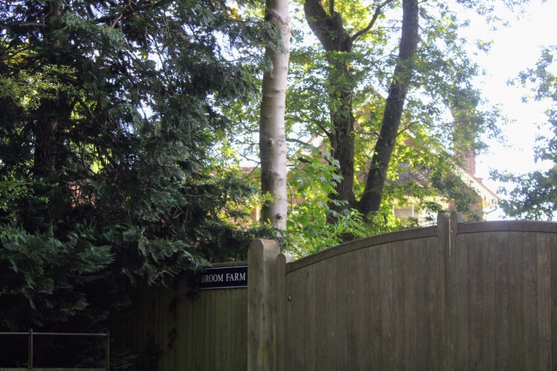
TQ 53 NW SPELDHURST BROOM LANE
7/460 Broom Farmhouse
II
Former farmhouse. Early C17 or earlier, C19 and C20 additions. Framed
construction, the ground floor underbuilt in Flemish bond brick, the first
floor tile-hung; peg-tile roof; brick stacks.
Plan: The house faces east. 3-room lobby entrance plan, the 2 right hand
(north) rooms heated from back-to-back fireplaces in an axial stack, unheated
service room to the left (west). The house has been extended by 2 late
C19/early C20 rear wings at right angles and a single storey wing adjoining at
the right.(north) end. It may be a C17 remodelling of an earlier house.
Exterior: 2 storeys. Roof of the main block hipped at the left end, half-
hipped and gabletted at the right end. Axial stack to right of centre with
staggered triple shafts of handmade brick with corbelled brick cornices and
vertical ribs. Probably C19 left end stack with a tall shaft and corbelled
cornice. Asymmetrical 4-window front with a C20 front door to the lobby
entrance with a flat porch hood. Various 2-, 3- and 4-light casement windows
mostly glazed with square leaded panes: the 2 first floor left hand windows
are circa early C17 with chamfered mullions. First floor window right and the
ground floor window left of the porch are probably C18. The other windows are
C20. The single storey addition at the right end is 3 bays with small-pane
sash windows. The rear elevation of the early range is largely obscured by
rear additions, one of the rear wings has a 2-span roof, the rear left wing
has a canted bay.
Interior: The north end has an exposed ceiling beam in the long axis with
scroll stops and an open fireplace with stone jambs. A crossbeam close to the
fireplace has redundant mortises: it may be re-used or could predate the
stack, suggesting a late medieval core to the house. The 2 southern rooms
were not available for inspection at time of survey (1989) but preserve
exposed ceiling carpentry. The partition between them has been removed. The
wall framing survives on the rear wall with jowled wall posts.
Roof: Tie beam, collar and clasped purlin design of slender scantling,
probably mid/late C17 in date.
An attracctive traditional house of the region.
Listing NGR: TQ5457838549
External links are from the relevant listing authority and, where applicable, Wikidata. Wikidata IDs may be related buildings as well as this specific building. If you want to add or update a link, you will need to do so by editing the Wikidata entry.


Other nearby listed buildings
