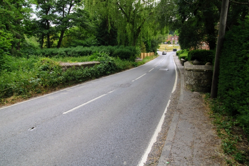
Latitude: 51.1168 / 51°7'0"N
Longitude: 0.1854 / 0°11'7"E
OS Eastings: 553053
OS Northings: 137555
OS Grid: TQ530375
Mapcode National: GBR MPV.ZN3
Mapcode Global: VHHQK.56C5
Plus Code: 9F32458P+P4
Entry Name: Bridge at TQ 5305 3756
Listing Date: 24 August 1990
Grade: II
Source: Historic England
Source ID: 1240548
English Heritage Legacy ID: 439024
ID on this website: 101240548
Location: Groombridge, Tunbridge Wells, Kent, TN3
County: East Sussex
District: Wealden
Civil Parish: Speldhurst
Built-Up Area: Groombridge
Traditional County: Sussex
Lieutenancy Area (Ceremonial County): East Sussex
Church of England Parish: Speldhurst St Mary the Virgin
Church of England Diocese: Rochester
Tagged with: Bridge
TQ 53 37 SPELDHURST GROOMBRIDGE HILL, OLD GROOMBRIDGE 16/498 Bridge at TQ 5305 3756
GV II
Road bridge over the Upper Medway River. Late C18/early C19. Rusticated sandstone ashlar. Single span bridge. Segmental, nearly round-headed, arch with projecting keystone. Side rise unbroken to the parapet which has projecting weathered coping. Each end the walls curve back into circular section terminal piers.
The river here is the county boundary. The bridge also forms part of a group with the very important estate village of Old Groombridge.
Listing NGR: TQ5305337554
External links are from the relevant listing authority and, where applicable, Wikidata. Wikidata IDs may be related buildings as well as this specific building. If you want to add or update a link, you will need to do so by editing the Wikidata entry.


Other nearby listed buildings