Latitude: 51.2774 / 51°16'38"N
Longitude: 1.0828 / 1°4'57"E
OS Eastings: 615104
OS Northings: 157658
OS Grid: TR151576
Mapcode National: GBR TY2.Y9F
Mapcode Global: VHLGM.Q581
Plus Code: 9F3373GM+X4
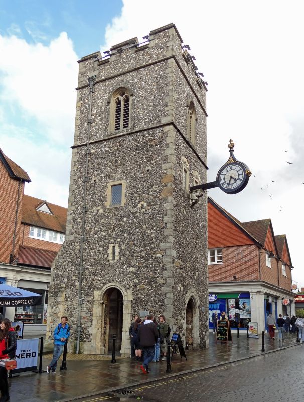
Entry Name: Remains of the Church of St George the Martyr Tower
Listing Date: 3 December 1949
Grade: II
Source: Historic England
Source ID: 1241984
English Heritage Legacy ID: 441186
ID on this website: 101241984
Location: Canterbury, Kent, CT1
County: Kent
District: Canterbury
Electoral Ward/Division: Westgate
Parish: Non Civil Parish
Built-Up Area: Canterbury
Traditional County: Kent
Lieutenancy Area (Ceremonial County): Kent
1. 944 ST GEORGE'S STREET
Tower (remains of the Church of St George the Martyr) TR 1557 NW 5/59 3.12.49.
II
2. C15. Flint faced with stone quoins and dressings. Crenellated parapet. Windows are restored lancets. Clock is supported by a stone bracket with crouching figure. Plaque states that Christopher Marlowe was baptised here in 1564.
Listing NGR: TR1510457658


Other nearby listed buildings