Approximate Location Map
Large Map »
Latitude: 51.278 / 51°16'40"N
Longitude: 1.0931 / 1°5'35"E
OS Eastings: 615822
OS Northings: 157747
OS Grid: TR158577
Mapcode National: GBR TY3.TCT
Mapcode Global: VHLGM.W4RN
Plus Code: 9F3373HV+56
Entry Name: Lychgate to St Martin's Church
Listing Date: 7 September 1973
Grade: II
Source: Historic England
Source ID: 1242169
English Heritage Legacy ID: 441526
ID on this website: 101242169
Location: St Martin's Church, St Martin's, Canterbury, Kent, CT1
County: Kent
District: Canterbury
Electoral Ward/Division: Barton
Parish: Non Civil Parish
Built-Up Area: Canterbury
Traditional County: Kent
Lieutenancy Area (Ceremonial County): Kent
Tagged with: Lychgate
1.
944 ST MARTIN'S HILL
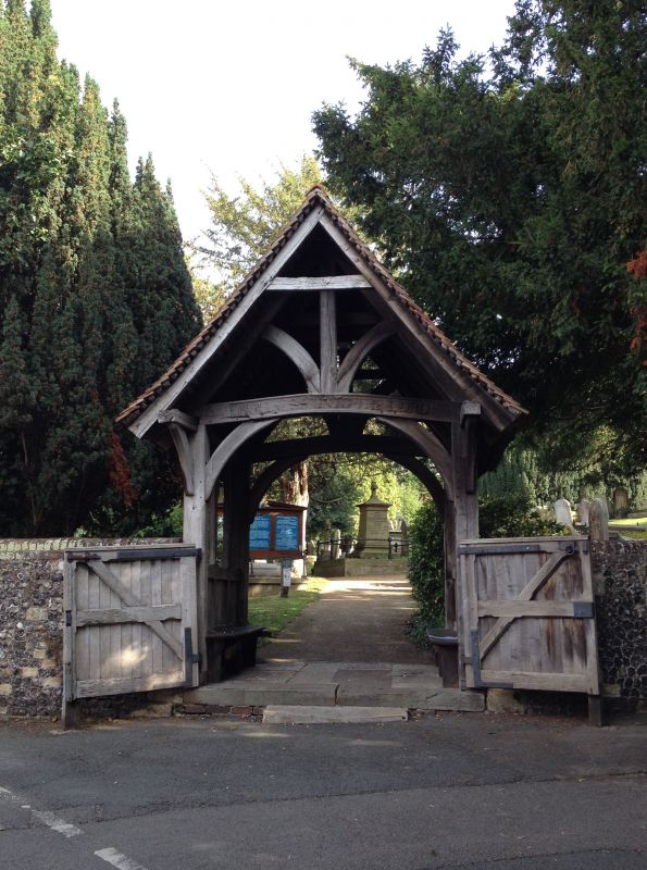
Lychgate to St Martin's Church
TR 1557 NE 6/161B
II
2.
C19 lychgate with seats, wooden gate and tiled roof.
Listing NGR: TR1582257747
External links are from the relevant listing authority and, where applicable, Wikidata. Wikidata IDs may be related buildings as well as this specific building. If you want to add or update a link, you will need to do so by editing the Wikidata entry.


Other nearby listed buildings
