Latitude: 51.5094 / 51°30'33"N
Longitude: -0.0516 / 0°3'5"W
OS Eastings: 535309
OS Northings: 180742
OS Grid: TQ353807
Mapcode National: GBR J9.PMW
Mapcode Global: VHGR1.2B27
Plus Code: 9C3XGW5X+Q9
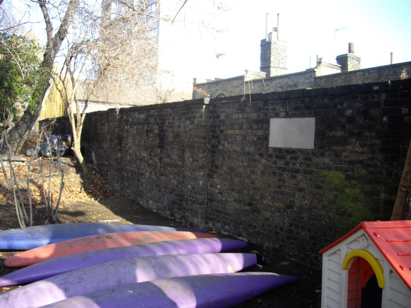
Entry Name: Wall Closing North End of Courtyard
Listing Date: 1 July 1983
Grade: II
Source: Historic England
Source ID: 1242311
English Heritage Legacy ID: 441682
ID on this website: 101242311
Location: Shadwell, Tower Hamlets, London, E1W
County: London
District: Tower Hamlets
Electoral Ward/Division: St Katharine's & Wapping
Parish: Non Civil Parish
Built-Up Area: Tower Hamlets
Traditional County: Middlesex
Lieutenancy Area (Ceremonial County): Greater London
Church of England Parish: St Paul Shadwell
Church of England Diocese: London
Tagged with: Wall
THE HIGHWAY E1 1. 4431 Wall closing north end TQ 3580 23/2A of courtyard II GV
2. C1820 wall associated with Shadwell dock wall of same height and abutting churchyard retaining wall but with 2 large plain buttress-piers, stone coping broken forward over, and sharply curved return to doorway of No 1. Included for group value with St Paul's Terrace. The wall group has group value with the church, adjoining the churchyard wall. It also has sociological interest, blocking entrance to the adjacent houses from the Highway, rendering them accessible only down an alley leading from the dockside.
Listing NGR: TQ3530980742
External links are from the relevant listing authority and, where applicable, Wikidata. Wikidata IDs may be related buildings as well as this specific building. If you want to add or update a link, you will need to do so by editing the Wikidata entry.


Other nearby listed buildings