Latitude: 51.4231 / 51°25'23"N
Longitude: -1.7268 / 1°43'36"W
OS Eastings: 419094
OS Northings: 169382
OS Grid: SU190693
Mapcode National: GBR 4X2.N8G
Mapcode Global: VHC1P.0HZC
Plus Code: 9C3WC7FF+77
Entry Name: 11-18, Saint Martins
Listing Date: 21 October 1974
Grade: II
Source: Historic England
Source ID: 1243234
English Heritage Legacy ID: 446883
ID on this website: 101243234
Location: Marlborough, Wiltshire, SN8
County: Wiltshire
Civil Parish: Marlborough
Built-Up Area: Marlborough
Traditional County: Wiltshire
Lieutenancy Area (Ceremonial County): Wiltshire
Tagged with: Building
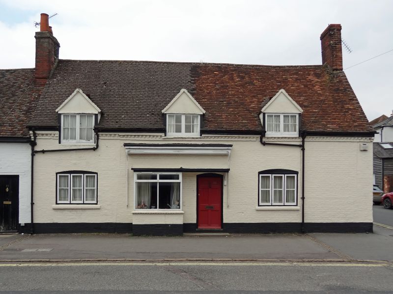
SAINT MARTINS
1.
5407
(North Side)
Nos 11 to 18 (consec)
SU 1969 1/89
II GV
2.
C18. 2 storeys. Brick, some colourwashed. Old roofs. Some C18, mostly
C19 casements and doors.
Nos 6 to 28 (consec) form a group.
Listing NGR: SU1907869376
External links are from the relevant listing authority and, where applicable, Wikidata. Wikidata IDs may be related buildings as well as this specific building. If you want to add or update a link, you will need to do so by editing the Wikidata entry.


Other nearby listed buildings